Transport Functions
Multimodal
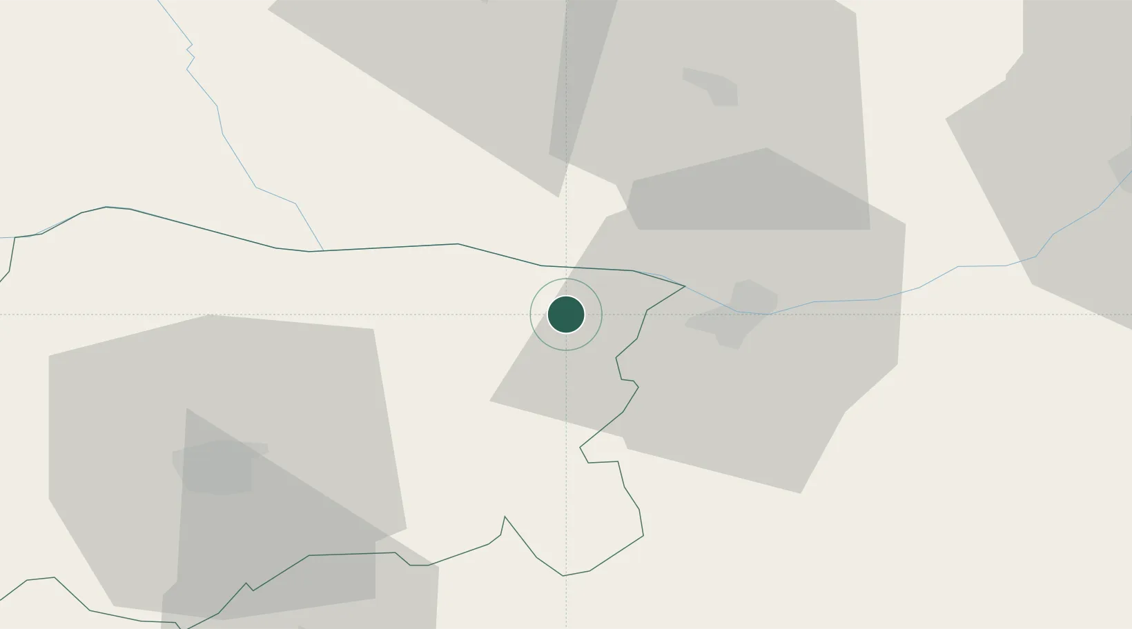
Hub Profile
Place type
Provincial seat
Region
Pleven
Population
7,487
Time zone
Europe/Sofia
Elevation
28 m
Location
Nearby Logistics Neighbours
Cities
- 1Zimnicea19 km
- 2Nikopol19 km
- 3Svishtov19 km
- 4Vardim19 km
- 5Turnu Magurele22 km
Airports
Trade Zones
- 1Free Zone Giurgiu73 km
- 2Rousse Free Zone77 km
- 3VGP Park Buharest North114 km
- 4Maritsa Industrial and Commercial Zone164 km
- 5Trakia Economic Zone169 km
DatabookThe Record of Consolidated Knowledge
Bulgaria beyond logistics?