Transport Functions
Rail
Road
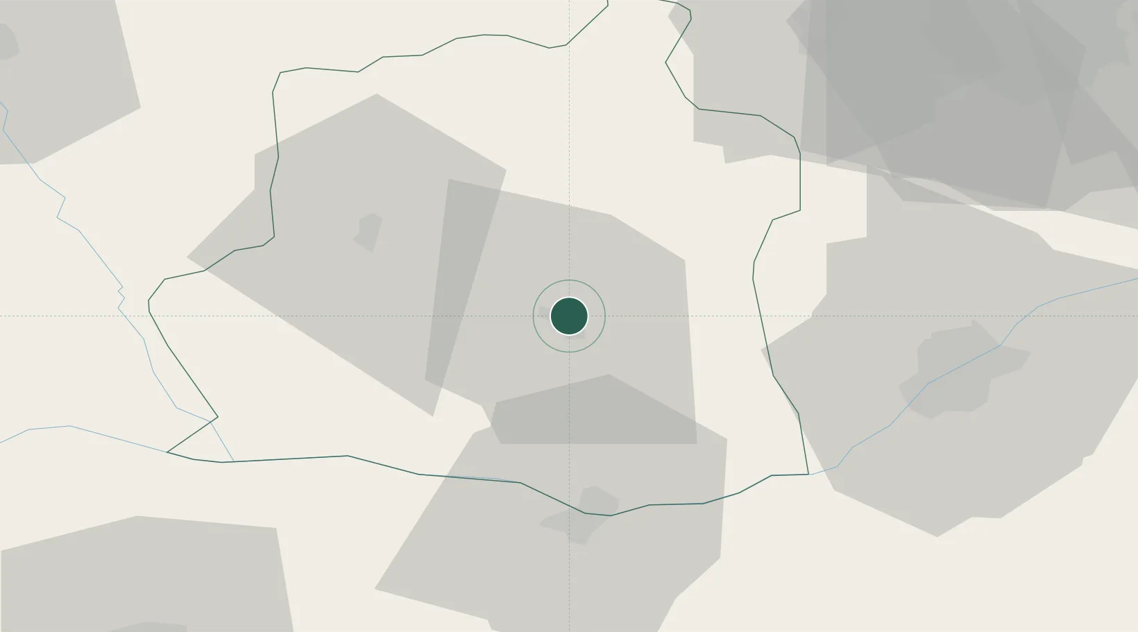
Hub Profile
Place type
Regional capital
Region
Teleorman County
Population
40,390
Time zone
Europe/Bucharest
Elevation
48 m
Location
Nearby Logistics Neighbours
Cities
- 1Calomfiresti8 km
- 2Rosiorii de Vede31 km
- 3Videle37 km
- 4Zimnicea37 km
- 5Svishtov41 km
Airports
Trade Zones
- 1Free Zone Giurgiu51 km
- 2Rousse Free Zone56 km
- 3VGP Park Buharest North74 km
- 4VGP Park Brasov187 km
- 5Maritsa Industrial and Commercial Zone203 km
DatabookThe Record of Consolidated Knowledge
Romania beyond logistics?