Transport Functions
Multimodal
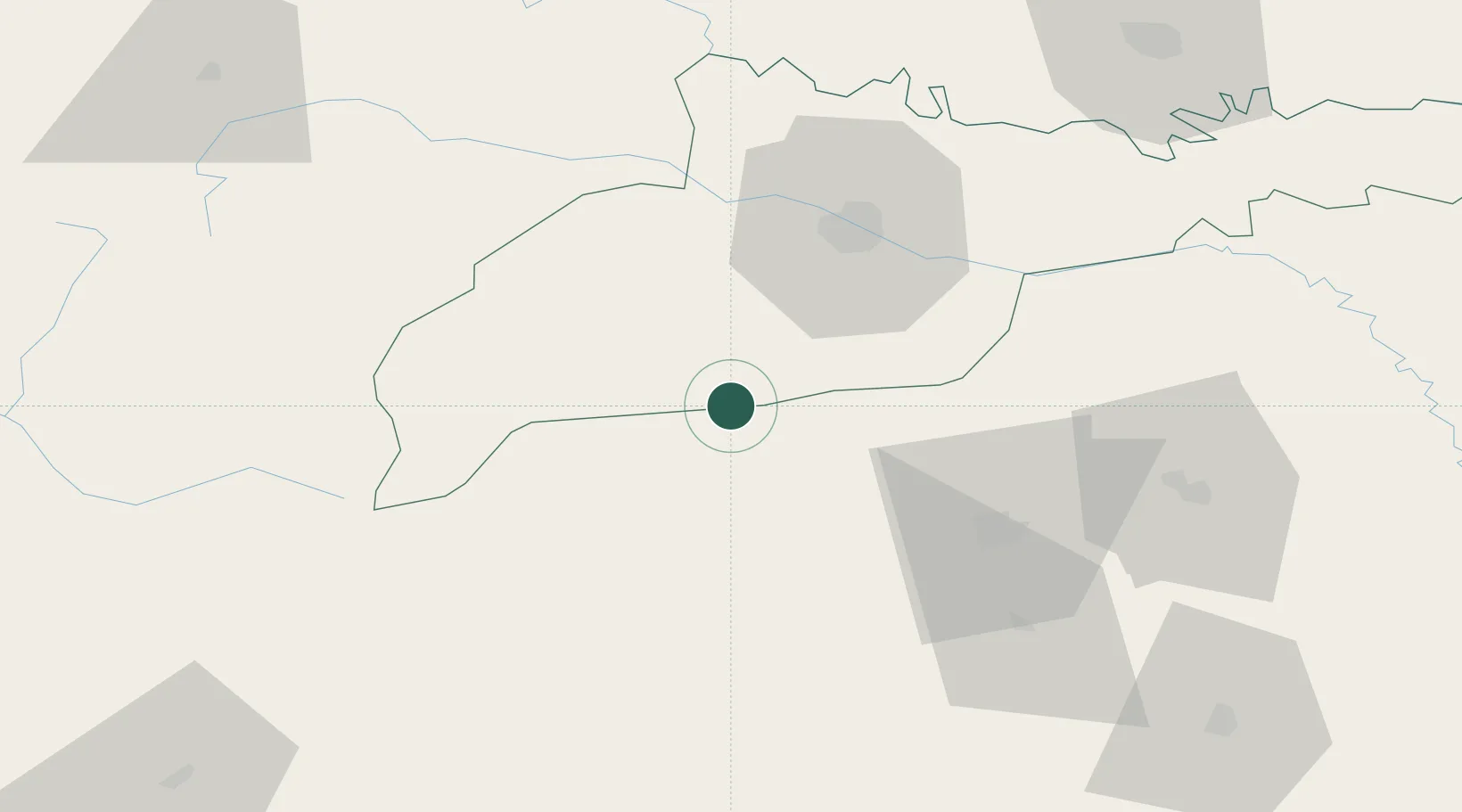
Hub Profile
Place type
Provincial seat
Region
Suceava
Population
14,077
Time zone
Europe/Bucharest
Elevation
460 m
Location
Nearby Logistics Neighbours
Cities
- 1Galanesti9 km
- 2Vadul23 km
- 3Slobozia Sucevei35 km
- 4Kamyana35 km
- 5Chernivtsi (Chernovtsy)45 km
Airports
DatabookThe Record of Consolidated Knowledge
Romania beyond logistics?