Transport Functions
Rail
Road
Hub Profile
Region
77
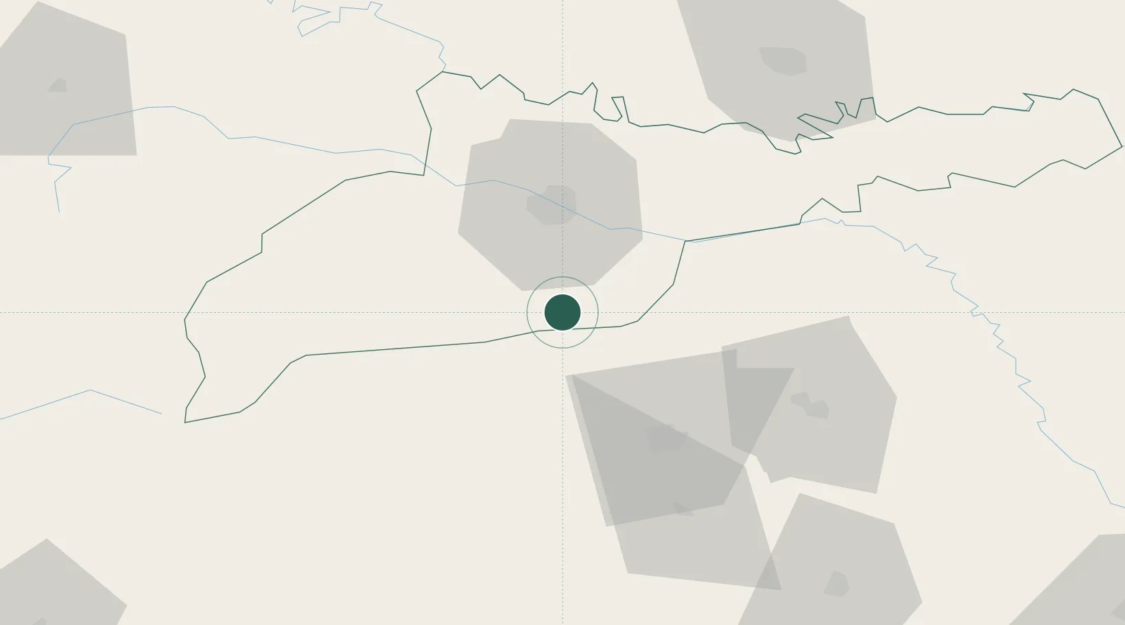
Location
Nearby Logistics Neighbours
Cities
- 1Galanesti17 km
- 2Vicovu de Sus23 km
- 3Kamyana26 km
- 4Slobozia Sucevei31 km
- 5Chernivtsi (Chernovtsy)32 km
Airports
DatabookThe Record of Consolidated Knowledge
Ukraine beyond logistics?