Transport Functions
Multimodal
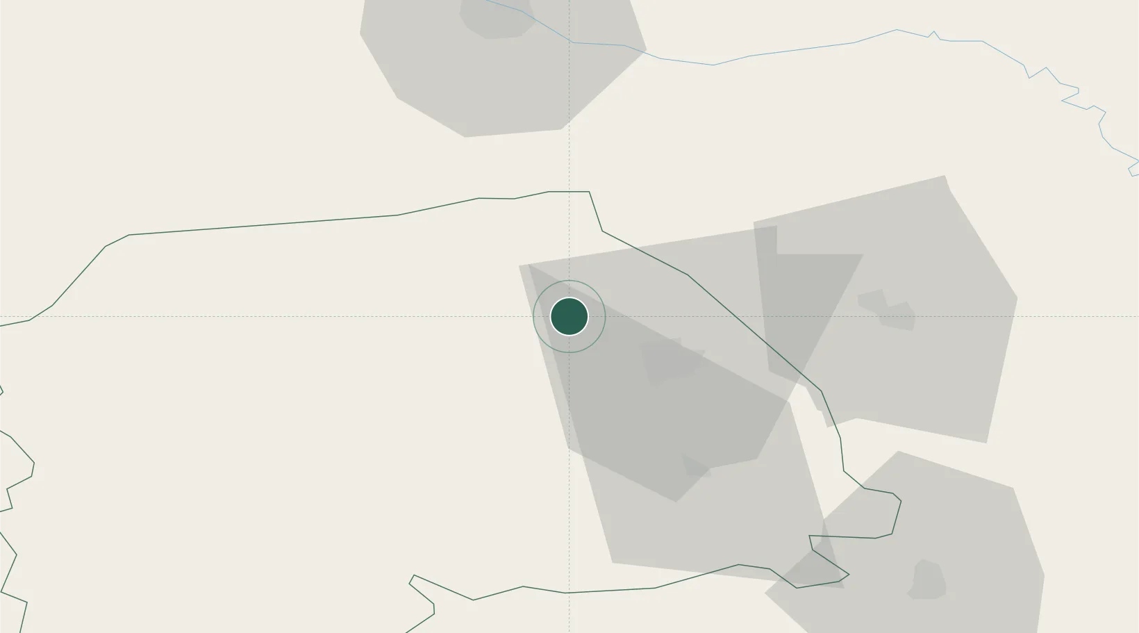
Hub Profile
Place type
Populated place
Region
Suceava
Population
604
Time zone
Europe/Bucharest
Elevation
316 m
Location
Nearby Logistics Neighbours
Cities
- 1Scheia17 km
- 2Gura Humorului26 km
- 3Prelipca27 km
- 4Galanesti27 km
- 5Vadul31 km
Airports
DatabookThe Record of Consolidated Knowledge
Romania beyond logistics?