UN/LOCODE hub · Romania
ROTUM
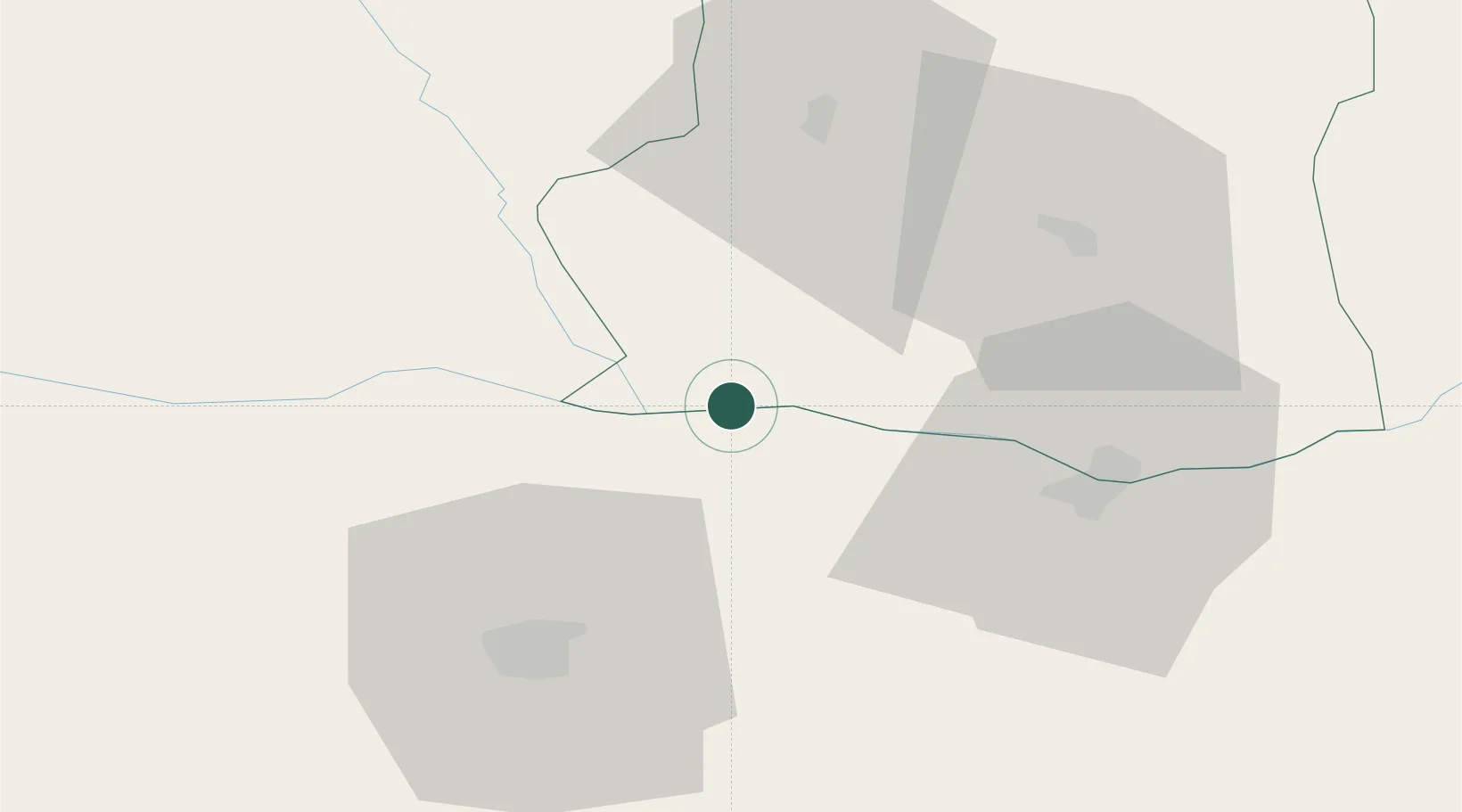
Turnu Magurele
43.7500°, 24.8833°
28,783
Population
2
Transport functions
Transport Functions
Port
Border Crossing
Hub Profile
Place type
Provincial seat
Region
Teleorman County
Population
28,783
Time zone
Europe/Bucharest
Elevation
36 m
Location
Nearby Logistics Neighbours
Cities
- 1Nikopol7 km
- 2Belene22 km
- 3Corabia31 km
- 4Zimnicea39 km
- 5Rosiorii de Vede40 km
Airports
Trade Zones
- 1Free Zone Giurgiu88 km
- 2Rousse Free Zone93 km
- 3VGP Park Buharest North118 km
- 4Maritsa Industrial and Commercial Zone172 km
- 5Trakia Economic Zone178 km
DatabookThe Record of Consolidated Knowledge
Romania beyond logistics?