Transport Functions
Port
Rail
Road
Hub Profile
Place type
Provincial seat
Region
Pleven
Population
3,629
Time zone
Europe/Sofia
Elevation
34 m
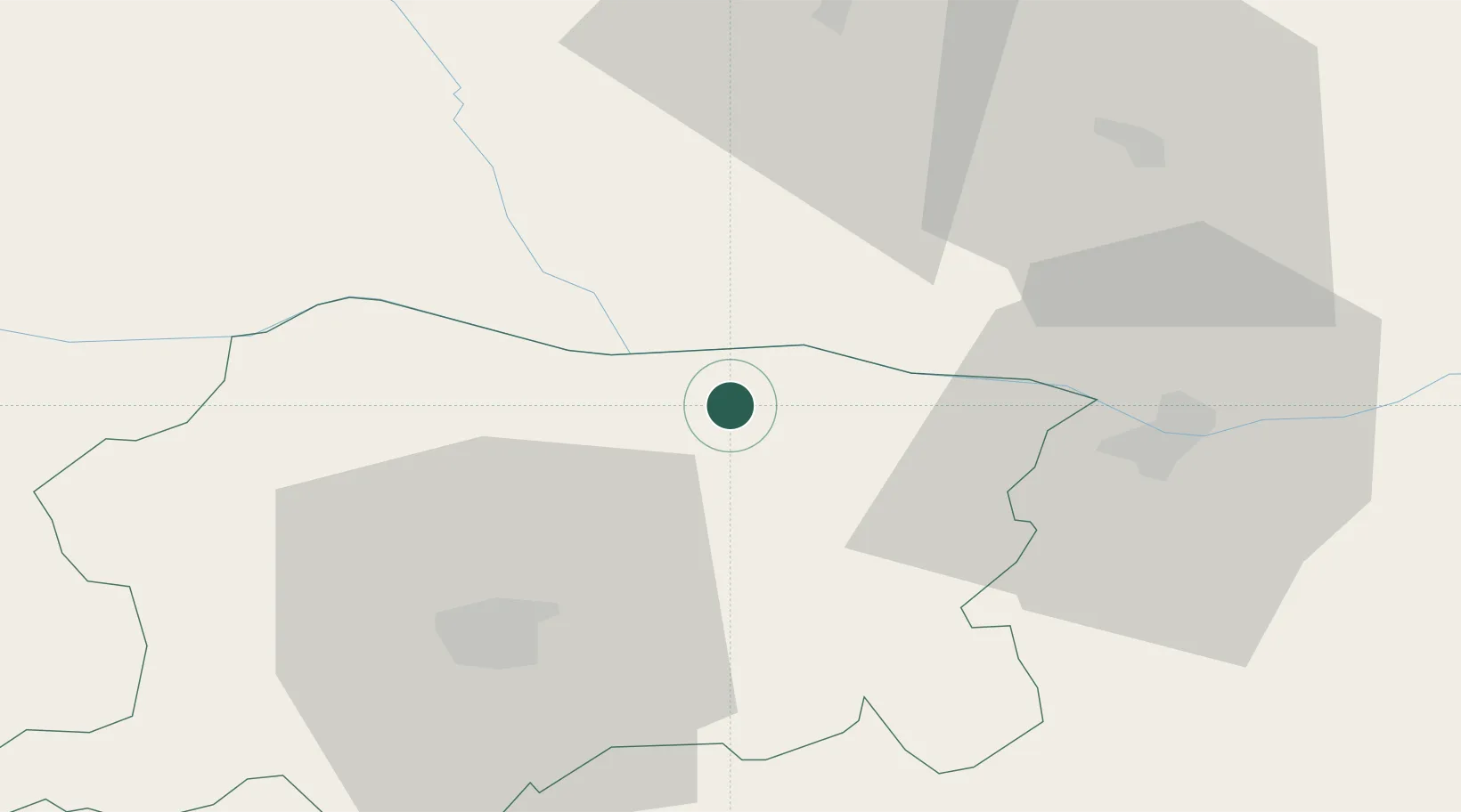
Location
Nearby Logistics Neighbours
Cities
- 1Turnu Magurele7 km
- 2Belene19 km
- 3Corabia32 km
- 4Zimnicea38 km
- 5Svishtov38 km
Airports
Trade Zones
- 1Free Zone Giurgiu89 km
- 2Rousse Free Zone94 km
- 3VGP Park Buharest North123 km
- 4Maritsa Industrial and Commercial Zone165 km
- 5Trakia Economic Zone170 km
DatabookThe Record of Consolidated Knowledge
Bulgaria beyond logistics?