UN/LOCODE hub · Romania
ROROS
Rosiorii de Vede
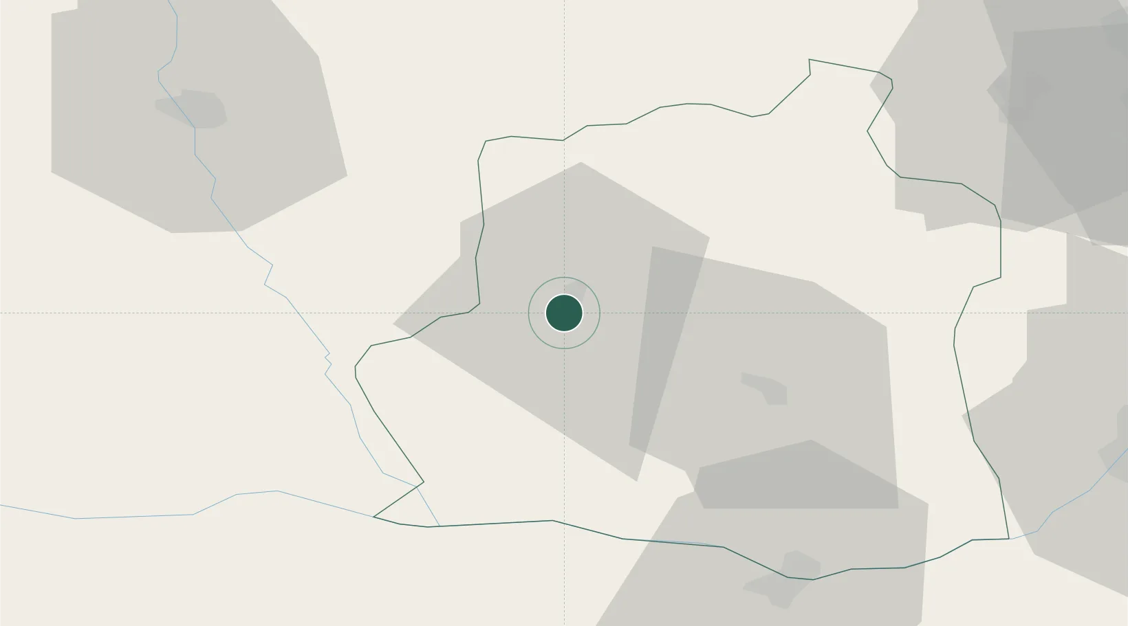
44.1000°, 24.9833°
27,416
Population
1
Transport functions
Transport Functions
Multimodal
Hub Profile
Place type
Provincial seat
Region
Teleorman County
Population
27,416
Time zone
Europe/Bucharest
Elevation
85 m
Location
Nearby Logistics Neighbours
Cities
- 1Alexandria31 km
- 2Calomfiresti36 km
- 3Caldararu39 km
- 4Turnu Magurele40 km
- 5Nikopol47 km
Airports
Trade Zones
- 1Free Zone Giurgiu81 km
- 2Rousse Free Zone86 km
- 3VGP Park Buharest North88 km
- 4VGP Park Brasov179 km
- 5VGP Park Sibiu201 km
DatabookThe Record of Consolidated Knowledge
Romania beyond logistics?