Transport Functions
Rail
Road
Hub Profile
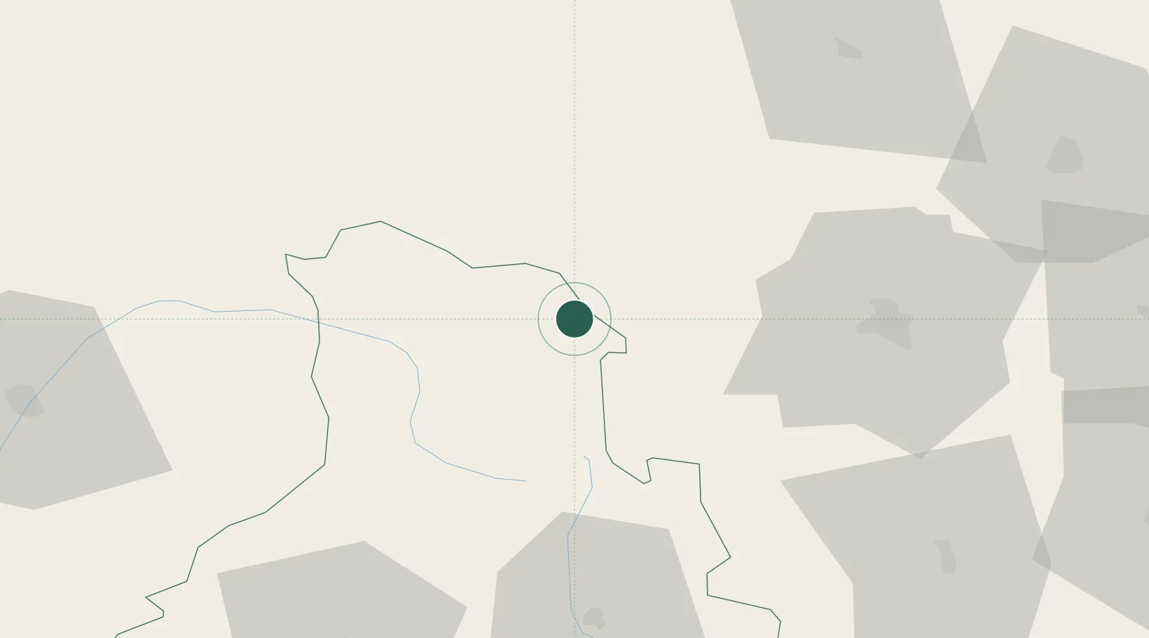
Place type
Provincial seat
Region
Harghita County
Population
3,543
Time zone
Europe/Bucharest
Elevation
920 m
Location
Nearby Logistics Neighbours
Cities
- 1Ditrau24 km
- 2Ciumani35 km
- 3Vaduri36 km
- 4Vanatori Neamt50 km
- 5Piatra Soimului52 km
Airports
Trade Zones
- 1VGP Park Brasov145 km
- 2Zona Economică Liberă Bălți148 km
- 3Free Enterprise Zone - Production Park Ungheni Business157 km
- 4VGP Park Sibiu184 km
- 5Free Zone Galați199 km
DatabookThe Record of Consolidated Knowledge
Romania beyond logistics?