Transport Functions
Rail
Road
Hub Profile
Place type
Populated place
Region
Mureș County
Population
2,029
Time zone
Europe/Bucharest
Elevation
305 m
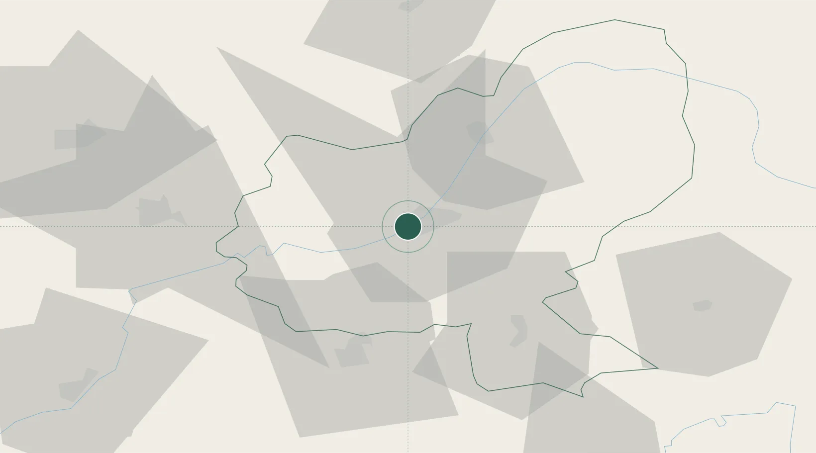
Location
Nearby Logistics Neighbours
Cities
- 1Sîncraiu de Mures2 km
- 2Sîntana de Mures5 km
- 3Livezeni10 km
- 4Acatari12 km
- 5Hodosa27 km
Airports
Trade Zones
- 1VGP Park Sibiu90 km
- 2VGP Park Brasov127 km
- 3Free Zone Galați234 km
- 4Free Zone Curtici Arad247 km
- 5VGP Park Arad254 km
DatabookThe Record of Consolidated Knowledge
Romania beyond logistics?