Transport Functions
Rail
Airport
Hub Profile
Place type
Regional capital
Region
Bacău County
Population
136,087
Time zone
Europe/Bucharest
Elevation
165 m
Logistics facilities
2
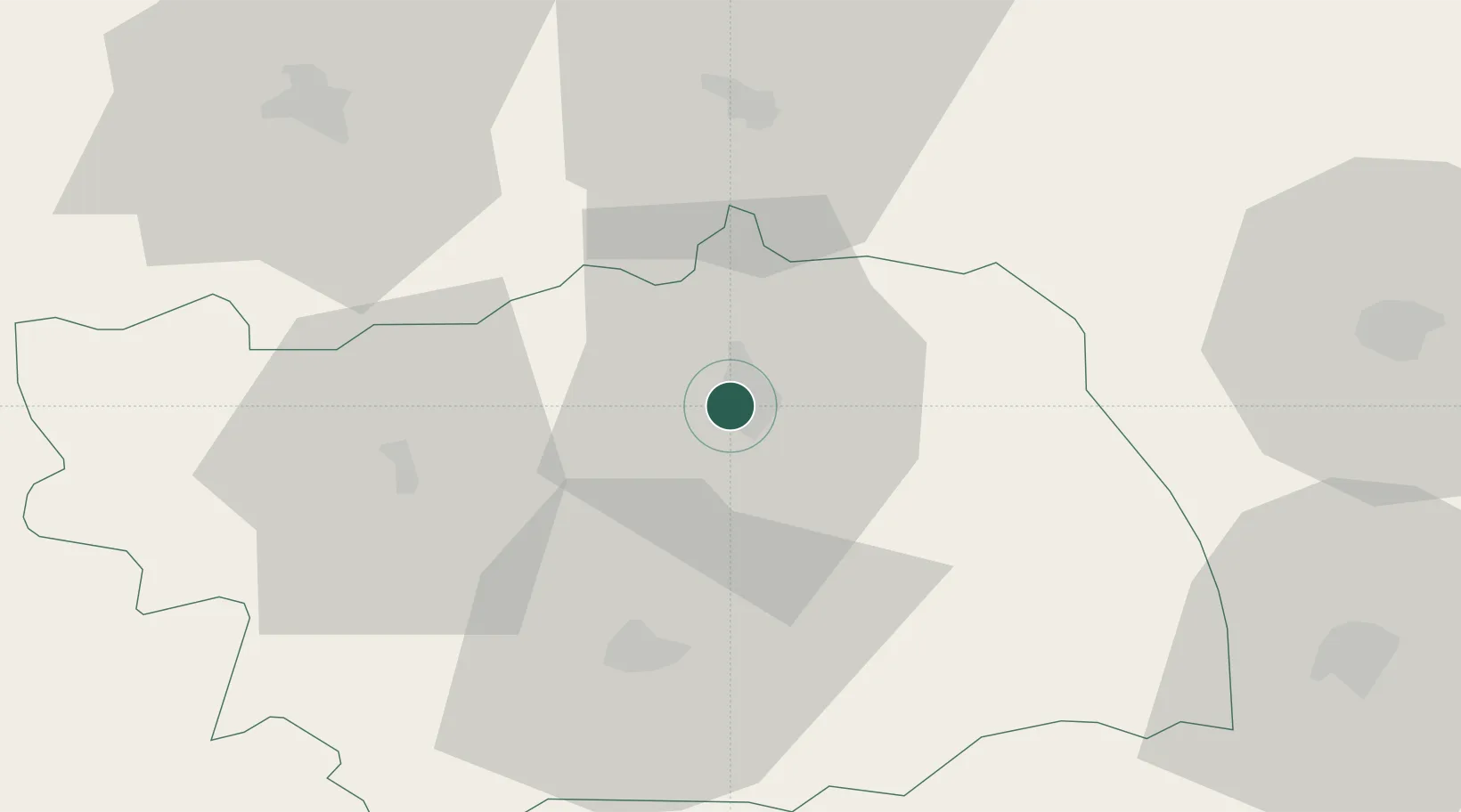
Location
Nearby Logistics Neighbours
Cities
- 1Margineni4 km
- 2Moinesti32 km
- 3Roman39 km
- 4Piatra Soimului46 km
- 5Sabaoani50 km
Airports
Trade Zones
DatabookThe Record of Consolidated Knowledge
Romania beyond logistics?