Transport Functions
Road
Multimodal
Hub Profile
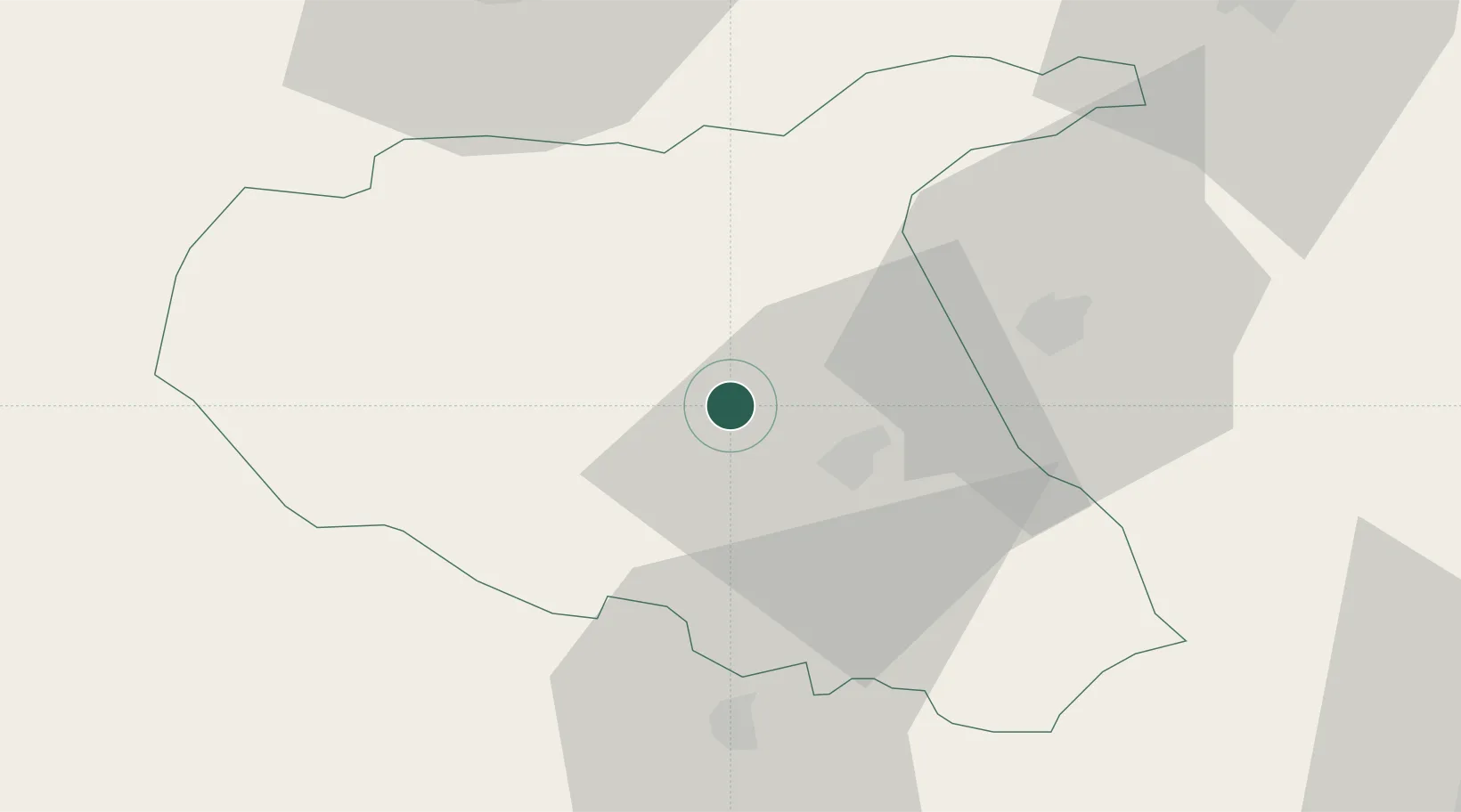
Place type
Provincial seat
Region
Vrancea
Population
8,026
Time zone
Europe/Bucharest
Elevation
223 m
Location
Nearby Logistics Neighbours
Cities
- 1Jaristea2 km
- 2Tecuci31 km
- 3Ivesti, Galati38 km
- 4Pietroasele53 km
- 5Berca61 km
Airports
Trade Zones
- 1Free Zone Galați42 km
- 2Free zone Brăila90 km
- 3Giurgiulesti International Free Port96 km
- 4Reni Special Economic Zone103 km
- 5VGP Park Brasov117 km
DatabookThe Record of Consolidated Knowledge
Romania beyond logistics?