Runway & Layout

Airport Specifications
ICAO code
LUCH
Airport class
Medium airport
Scheduled service
No
Served city
Cahul
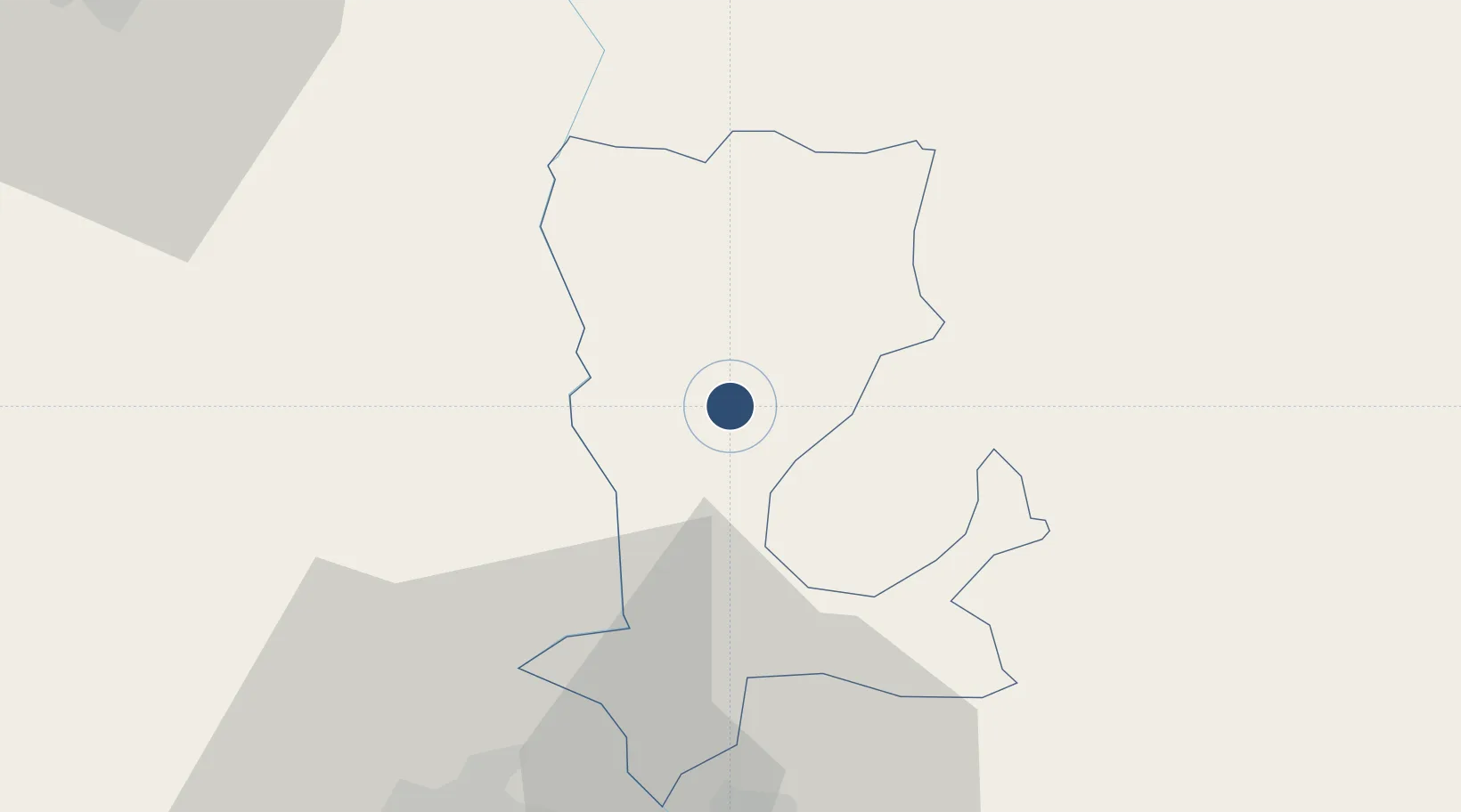
Location
Nearby Logistics Neighbours
Airports
- 1Zhovtneve Air Base39 km
- 2Tulcea Danube Delta Airport94 km
- 3Boboc Air Base122 km
- 4Bacău George Enescu International Airport129 km
- 5Chişinău International Airport131 km
Cities
- 1Burlacu24 km
- 2Giurgiulesti42 km
- 3Reni48 km
- 4Galati49 km
- 5Ivesti, Galati61 km
Trade Zones
DatabookThe Record of Consolidated Knowledge
Moldova beyond logistics?