Transport Functions
Port
Rail
Border Crossing
Hub Profile
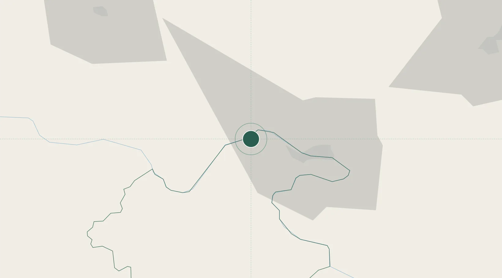
Place type
Provincial seat
Region
Mehedinți County
Population
12,350
Time zone
Europe/Bucharest
Elevation
79 m
Location
Nearby Logistics Neighbours
Cities
- 1Drobeta-Turnu Severin21 km
- 2Mehadia22 km
- 3Prahovo49 km
- 4Teregova51 km
- 5Negotin55 km
Airports
Trade Zones
- 1Svilajnac Free Zone107 km
- 2Smederevo Free Zone116 km
- 3Vidin Free Trade Zone123 km
- 4FAS Free Zone Kragujevac143 km
- 5Kruševac Free Zone150 km
DatabookThe Record of Consolidated Knowledge
Romania beyond logistics?