Transport Functions
Rail
Road
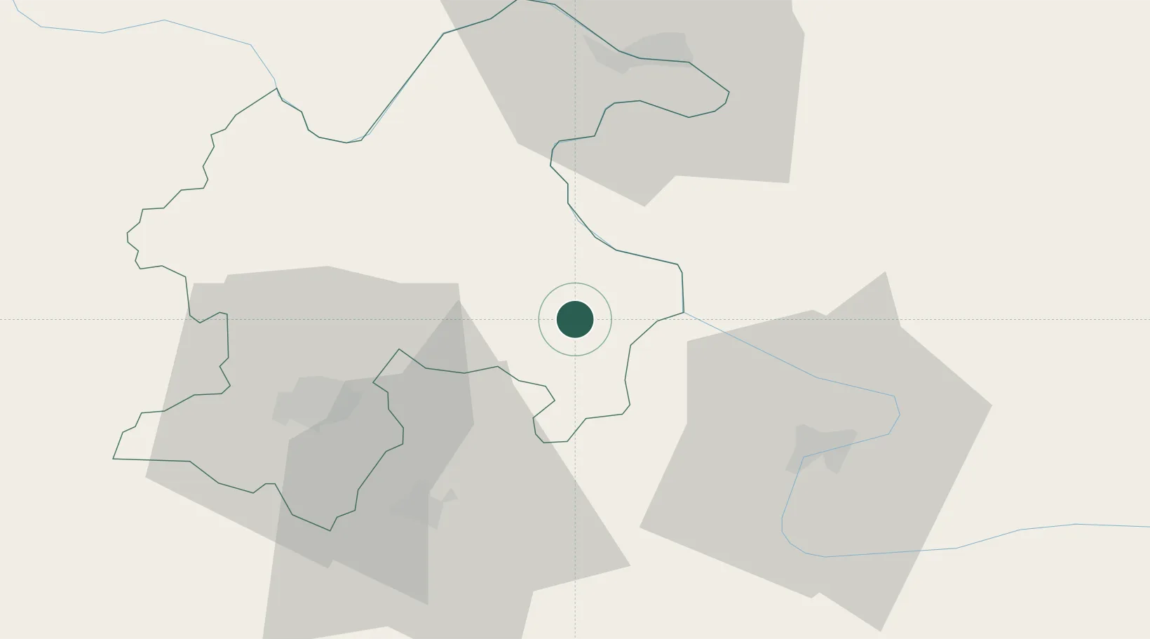
Hub Profile
Place type
District seat
Region
Central Serbia
Population
17,612
Time zone
Europe/Belgrade
Elevation
49 m
Location
Nearby Logistics Neighbours
Cities
- 1Prahovo9 km
- 2Zajecar40 km
- 3Calafat42 km
- 4Drobeta-Turnu Severin48 km
- 5Orsova55 km
Airports
- 1Craiova International Airport110 km
- 2Niš Constantine the Great Airport111 km
- 3Caransebeş Airport135 km
- 4Morava Airport161 km
- 5Dolna Mitropoliya Air Base181 km
Trade Zones
- 1Vidin Free Trade Zone69 km
- 2Svilajnac Free Zone105 km
- 3Pirot Free Zone116 km
- 4Kruševac Free Zone117 km
- 5FAS Free Zone Kragujevac131 km
DatabookThe Record of Consolidated Knowledge
Serbia beyond logistics?