UN/LOCODE hub · Romania
RODTS

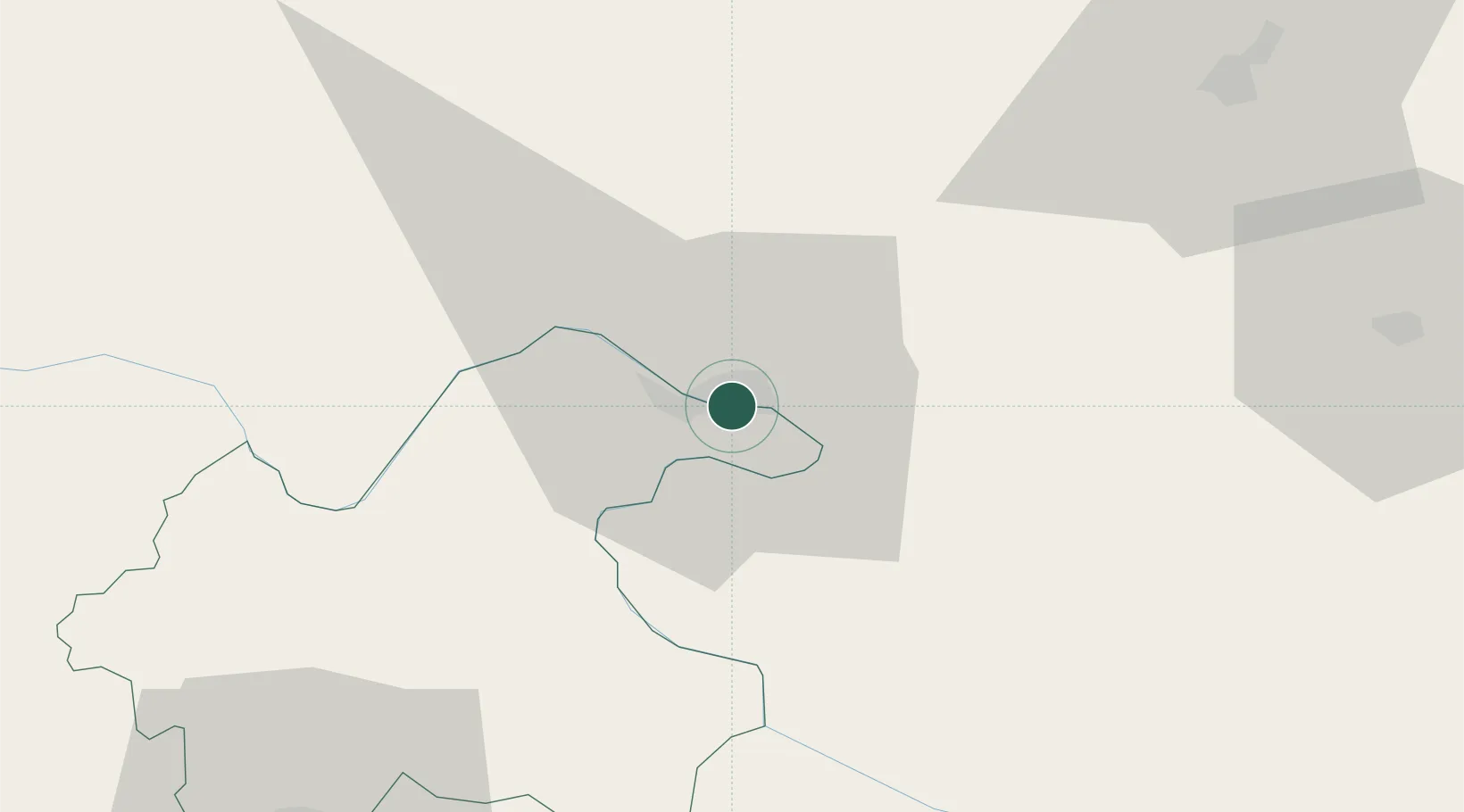
Drobeta-Turnu Severin

44.6333°, 22.6500°
79,865
Population
3
Transport functions

Transport Functions

Port
Rail
Border Crossing
UN/LOCODE

Hub Profile

Place type
Regional capital
GeoNames
Region
Mehedinți County
GeoNames
Population
79,865
GeoNames
Time zone
Europe/Bucharest
GeoNames
Elevation
76 m
GeoNames

Location

Location of RODTS
Natural Earth 10m (public domain) · Mehedinți County · RODTS · 44.63, 22.65GoogleOSMYandex

Nearby Logistics Neighbours

Cities
  1. 1Orsova21 km
  2. 2Mehadia37 km
  3. 3Prahovo39 km
  4. 4Negotin48 km
  5. 5Teregova64 km
Nearest neighbours — logibook spatial index (haversine) over the source coordinates
Ports
  1. 1Risan396 km
  2. 2Kotor398 km
  3. 3Shengjin399 km
  4. 4Tivat402 km
  5. 5Bar404 km
Nearest neighbours — logibook spatial index (haversine) over the source coordinates
Airports
  1. 1Caransebeş Airport93 km
  2. 2Craiova International Airport104 km
  3. 3Niš Constantine the Great Airport158 km
  4. 4Timișoara Traian Vuia International Airport166 km
  5. 5Sibiu International Airport171 km
Nearest neighbours — logibook spatial index (haversine) over the source coordinates
Trade Zones
  1. 1Vidin Free Trade Zone116 km
  2. 2Svilajnac Free Zone123 km
  3. 3Smederevo Free Zone136 km
  4. 4FAS Free Zone Kragujevac156 km
  5. 5Kruševac Free Zone157 km
Nearest neighbours — logibook spatial index (haversine) over the source coordinates
DatabookThe Record of Consolidated Knowledge
Romania beyond logistics?
Browse databook

All Sources

LocationsUN/LOCODE
UN/LOCODE — free
LocationsGeoNames
CC BY 4.0
Portsthe NGA World Port Index
Public domain (US gov)
AirportsOurAirports
Public domain
Trade Zonesthe World Bank SEZ database
CC BY 4.0
Trade ZonesOpen Zone Map
CC BY
← Romania locations