Transport Functions
Rail
Road
Hub Profile
Place type
Provincial seat
Region
Caraș-Severin County
Population
4,336
Time zone
Europe/Bucharest
Elevation
157 m
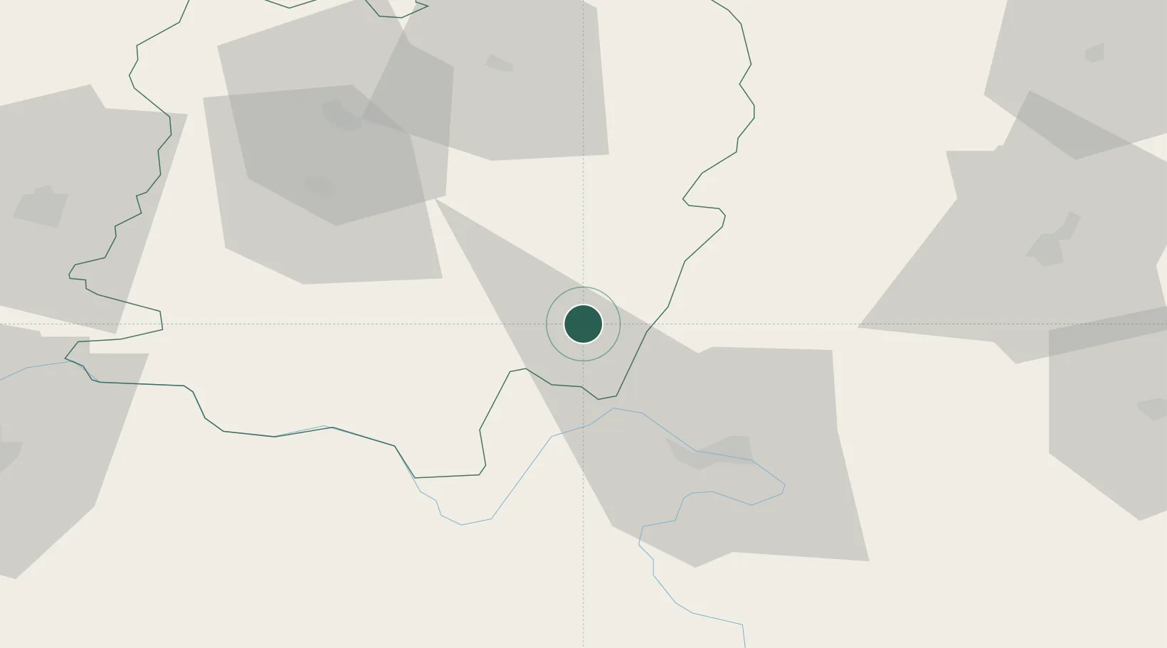
Location
Nearby Logistics Neighbours
Cities
- 1Orsova22 km
- 2Teregova29 km
- 3Drobeta-Turnu Severin37 km
- 4Oravita55 km
- 5Moldova Noua58 km
Airports
Trade Zones
- 1Smederevo Free Zone116 km
- 2Svilajnac Free Zone117 km
- 3VGP Park Timisoara136 km
- 4Vidin Free Trade Zone146 km
- 5Beograd Free Zone149 km
DatabookThe Record of Consolidated Knowledge
Romania beyond logistics?