Transport Functions
Port
Rail
Road
Hub Profile
Place type
Populated place
Region
Central Serbia
Population
4
Time zone
Europe/Belgrade
Elevation
64 m
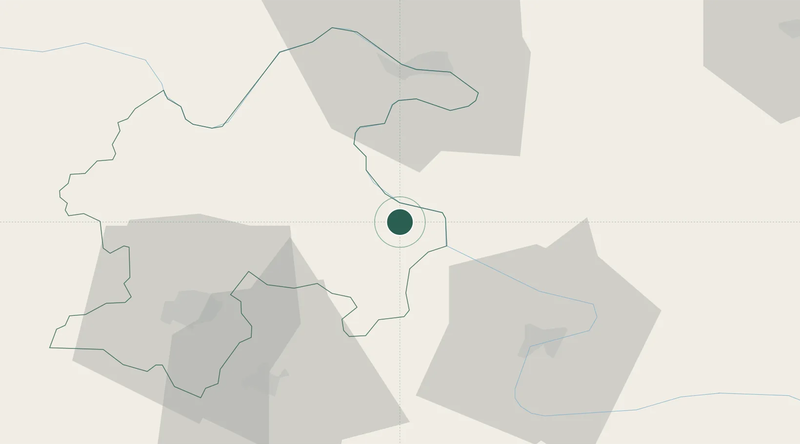
Location
Nearby Logistics Neighbours
Cities
- 1Negotin9 km
- 2Drobeta-Turnu Severin39 km
- 3Calafat44 km
- 4Orsova49 km
- 5Zajecar49 km
Airports
- 1Craiova International Airport104 km
- 2Niš Constantine the Great Airport120 km
- 3Caransebeş Airport129 km
- 4Morava Airport168 km
- 5Dolna Mitropoliya Air Base180 km
Trade Zones
- 1Vidin Free Trade Zone77 km
- 2Svilajnac Free Zone110 km
- 3Pirot Free Zone123 km
- 4Kruševac Free Zone126 km
- 5Smederevo Free Zone138 km
DatabookThe Record of Consolidated Knowledge
Serbia beyond logistics?