Transport Functions
Rail
Road
Hub Profile
Region
HD
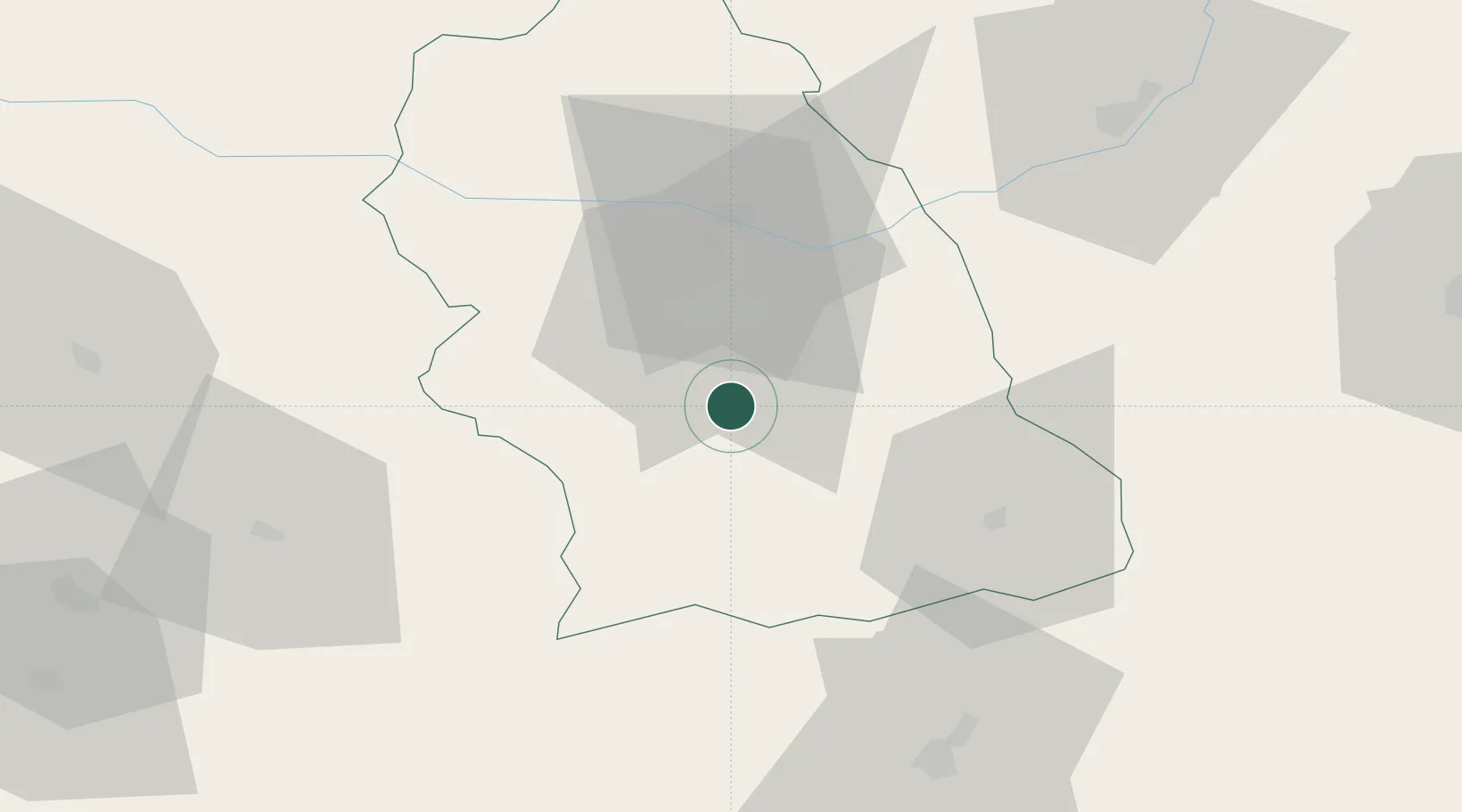
Location
Nearby Logistics Neighbours
Cities
- 1Simeria24 km
- 2Mintia36 km
- 3Lupeni37 km
- 4Bocsa43 km
- 5Brad, Hunedoara57 km
Airports
Trade Zones
- 1VGP Park Sibiu89 km
- 2VGP Park Timisoara139 km
- 3VGP Park Arad146 km
- 4Free Zone Curtici Arad152 km
- 5Smederevo Free Zone190 km
DatabookThe Record of Consolidated Knowledge
Romania beyond logistics?