Transport Functions
Multimodal
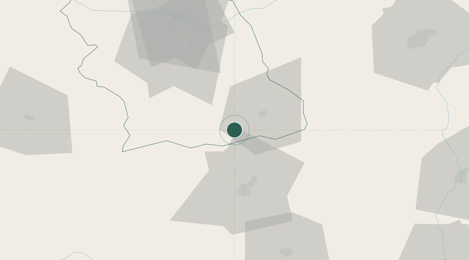
Hub Profile
Place type
Populated place
Region
Hunedoara County
Population
30,488
Time zone
Europe/Bucharest
Elevation
634 m
Location
Nearby Logistics Neighbours
Cities
- 1Bumbesti-Jiu24 km
- 2Tîrgu Jiu34 km
- 3Tarju Jiu35 km
- 4Hateg, Hunedoara37 km
- 5Simeria54 km
Airports
Trade Zones
- 1VGP Park Sibiu81 km
- 2VGP Park Timisoara167 km
- 3VGP Park Arad180 km
- 4VGP Park Brasov184 km
- 5Free Zone Curtici Arad188 km
DatabookThe Record of Consolidated Knowledge
Romania beyond logistics?