Transport Functions
Port
Border Crossing
Hub Profile
Place type
Regional capital
Region
Giurgiu County
Population
54,551
Time zone
Europe/Bucharest
Elevation
27 m
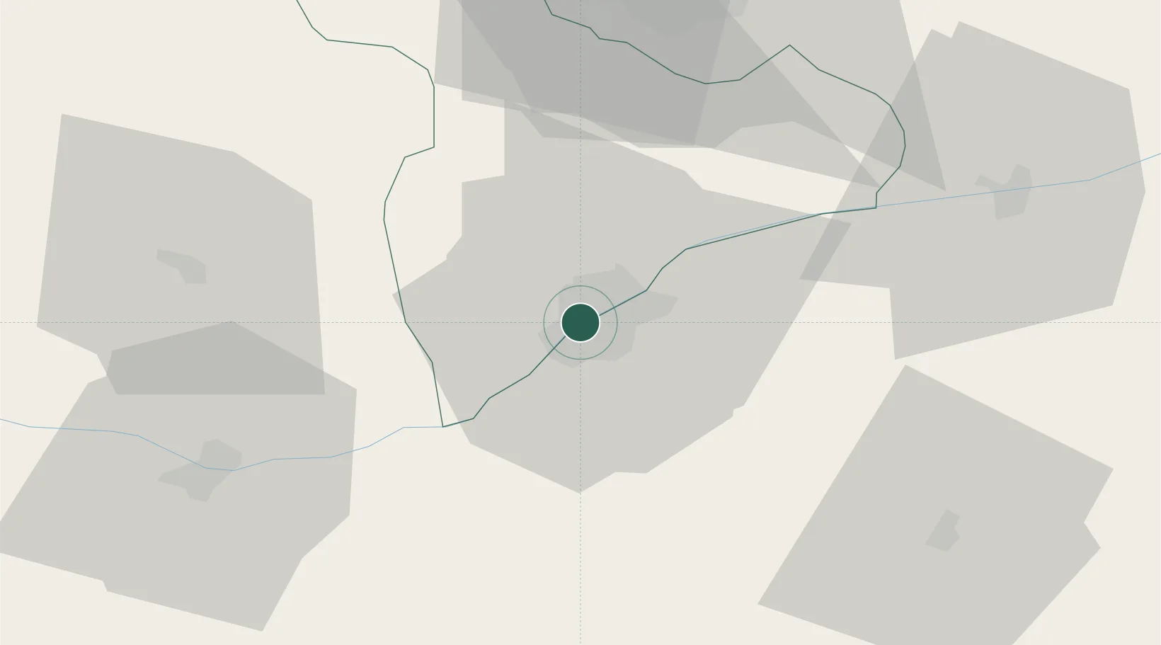
Location
Nearby Logistics Neighbours
Cities
- 1Ruse4 km
- 2Kubrat45 km
- 3Calomfiresti48 km
- 4Alexandria51 km
- 5Lomci54 km
Ports
- 1Varna180 km
- 2Burgas199 km
- 3Braila221 km
- 4Lagos328 km
- 5Alexandroupoli339 km
Airports
Trade Zones
- 1Free Zone Giurgiu1 km
- 2Rousse Free Zone6 km
- 3VGP Park Buharest North66 km
- 4Free Zone Galați188 km
- 5Bourgas Free Economic Zone193 km
DatabookThe Record of Consolidated Knowledge
Romania beyond logistics?