Transport Functions
Road
Multimodal
Hub Profile
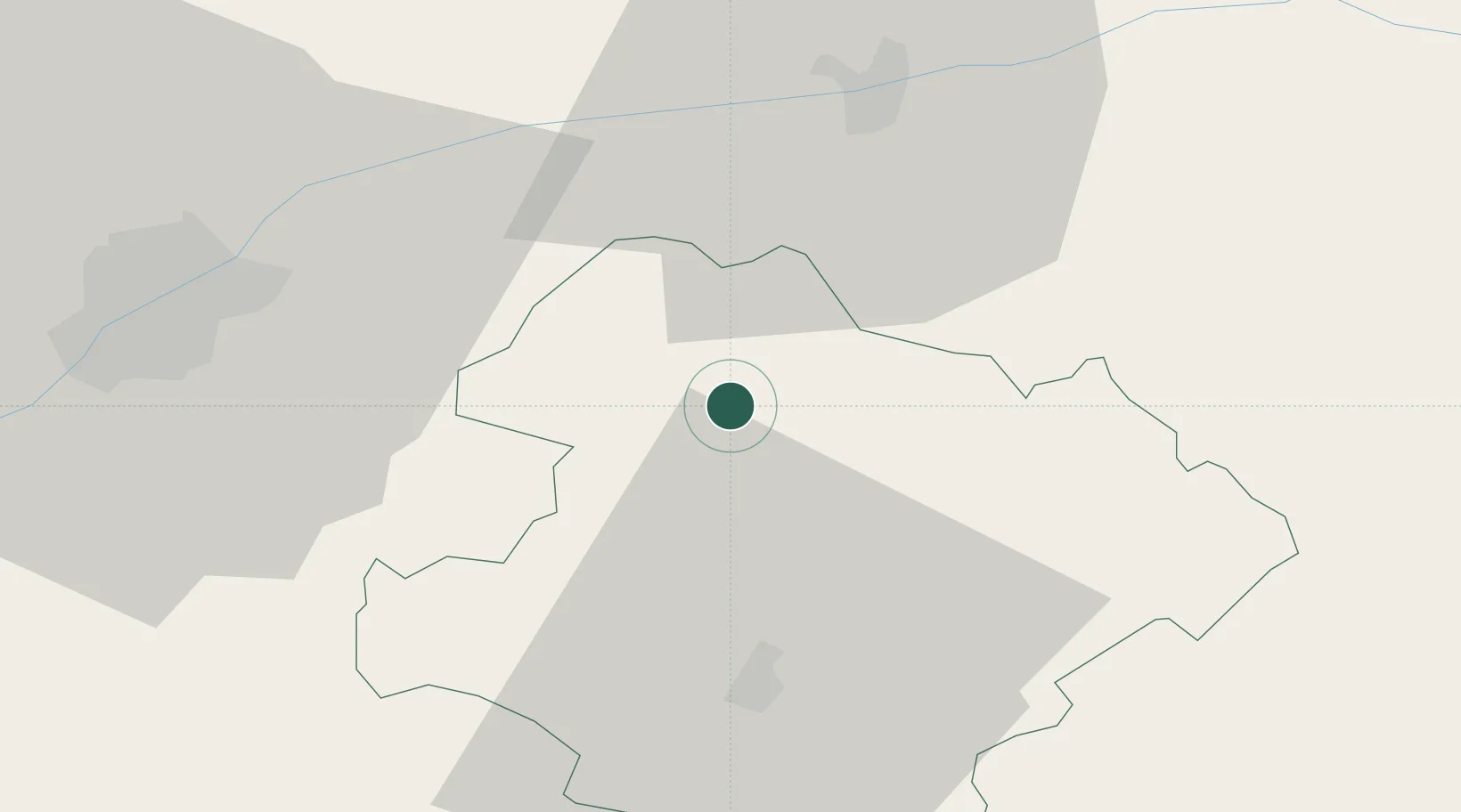
Place type
Provincial seat
Region
Razgrad
Population
8,980
Time zone
Europe/Sofia
Elevation
234 m
Location
Nearby Logistics Neighbours
Cities
- 1Lomci11 km
- 2Oltenita34 km
- 3Ruse43 km
- 4Giurgiu45 km
- 5Budesti, Calarasi48 km
Airports
Trade Zones
- 1Rousse Free Zone40 km
- 2Free Zone Giurgiu45 km
- 3VGP Park Buharest North87 km
- 4Free Zone Constanō£a Sud si Basarabi154 km
- 5Bourgas Free Economic Zone161 km
DatabookThe Record of Consolidated Knowledge
Bulgaria beyond logistics?