Medium airport · Romania

Feteşti Borcea Air BaseLR80
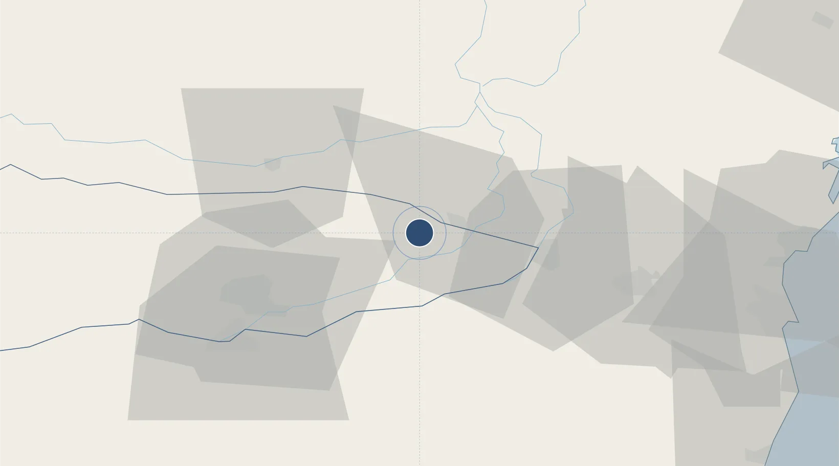
44.3923°, 27.7267°
8,202 ft
Longest runway
1
Runways
180 ft
Elevation

Runway & Layout

Feteşti Borcea Air Base runway & taxiway layout
Runway & taxiway layout — OpenStreetMap (ODbL) / OurAirports

Radio Frequencies

TWR
130 MHz
APP
130 MHz
OurAirports

Runways · 1

RunwayDimensions SurfaceTrue headingLit
18/36 8,202 × 148ft Concrete 185°
OurAirports

Airport Specifications

ICAO code
LRFT
OurAirports
Airport class
Medium airport
OurAirports
Scheduled service
No
OurAirports
Runway surface
Concrete
OurAirports
Served city
Borcea
OurAirports

Location

Location of LR80
Natural Earth 10m (public domain) · Calarasi · LR80 · 44.39, 27.73GoogleOSMYandex

Nearby Logistics Neighbours

Airports
  1. 1Mihail Kogălniceanu International Airport61 km
  2. 2Tulcea Danube Delta Airport108 km
  3. 3Boboc Air Base109 km
  4. 4Balchik Airfield114 km
  5. 5Varna Airport129 km
Nearest neighbours — logibook spatial index (haversine) over the source coordinates
Cities
  1. 1Fetesti9 km
  2. 2Cernavoda24 km
  3. 3Isperih36 km
  4. 4Hârsova37 km
  5. 5Calarasi38 km
Nearest neighbours — logibook spatial index (haversine) over the source coordinates
Ports
  1. 1Cernavoda27 km
  2. 2Medgidia46 km
  3. 3Basarabi62 km
  4. 4Midia75 km
  5. 5Constanta78 km
Nearest neighbours — logibook spatial index (haversine) over the source coordinates
Trade Zones
  1. 1Free Zone Constanō£a Sud si Basarabi63 km
  2. 2Free zone Brăila100 km
  3. 3Free Zone Galați123 km
  4. 4Reni Special Economic Zone125 km
  5. 5Giurgiulesti International Free Port126 km
Nearest neighbours — logibook spatial index (haversine) over the source coordinates
DatabookThe Record of Consolidated Knowledge
Romania beyond logistics?
Browse databook

All Sources

AirportsOurAirports
Public domain
Portsthe NGA World Port Index
Public domain (US gov)
LocationsUN/LOCODE
UN/LOCODE — free
Trade Zonesthe World Bank SEZ database
CC BY 4.0
Trade ZonesOpen Zone Map
CC BY
InfrastructureOpenStreetMap
ODbL 1.0
← Romania airports