Transport Functions
Multimodal
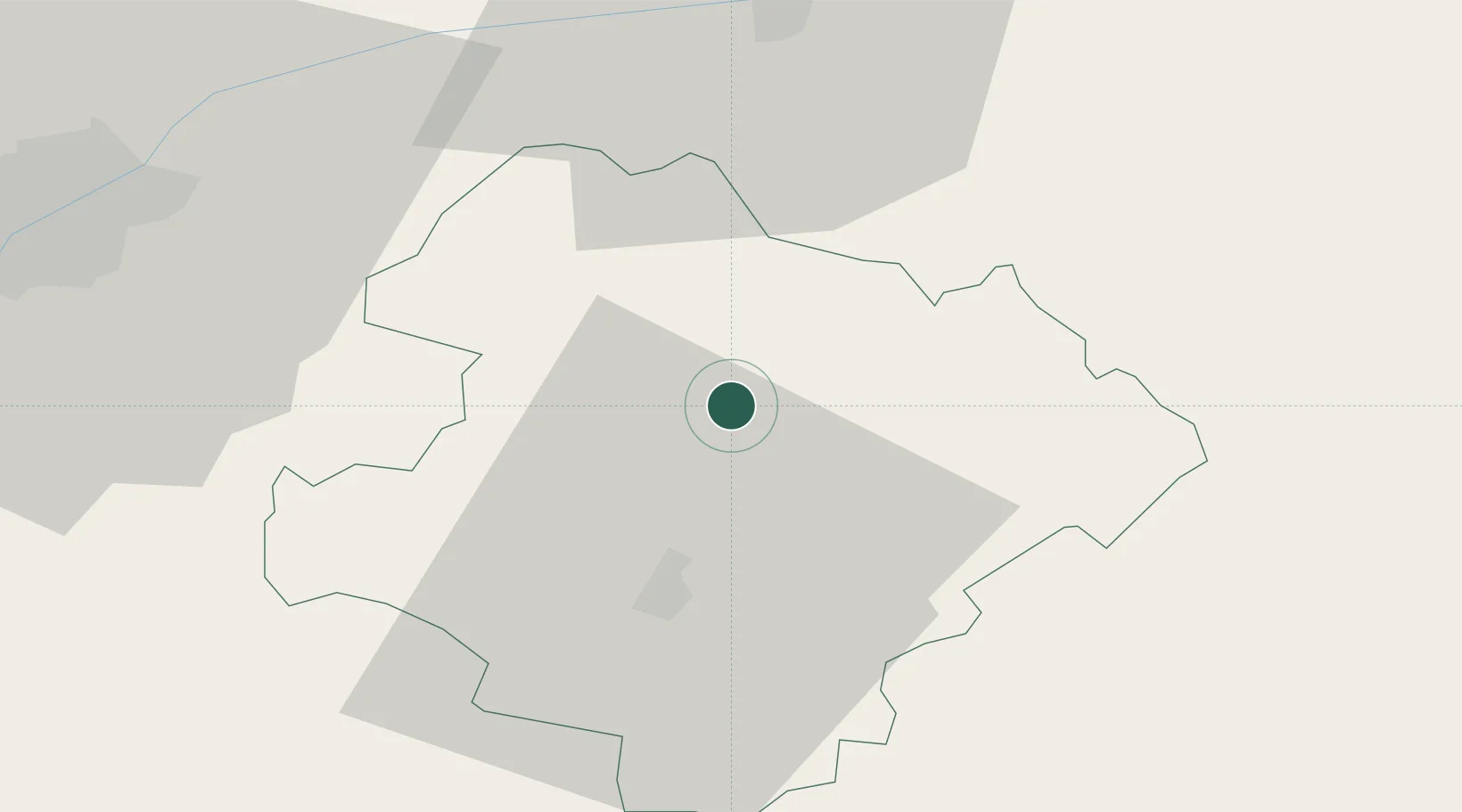
Hub Profile
Region
25
Location
Nearby Logistics Neighbours
Cities
- 1Kubrat11 km
- 2Oltenita41 km
- 3Lyuliakovo51 km
- 4Ruse52 km
- 5Targovishte52 km
Airports
Trade Zones
- 1Rousse Free Zone49 km
- 2Free Zone Giurgiu54 km
- 3VGP Park Buharest North98 km
- 4Bourgas Free Economic Zone150 km
- 5Free Zone Constanō£a Sud si Basarabi150 km
DatabookThe Record of Consolidated Knowledge
Bulgaria beyond logistics?