Transport Functions
Port
Rail
Road
Airport
Hub Profile
Place type
Regional capital
Region
Ruse
Population
121,168
Time zone
Europe/Sofia
Elevation
39 m
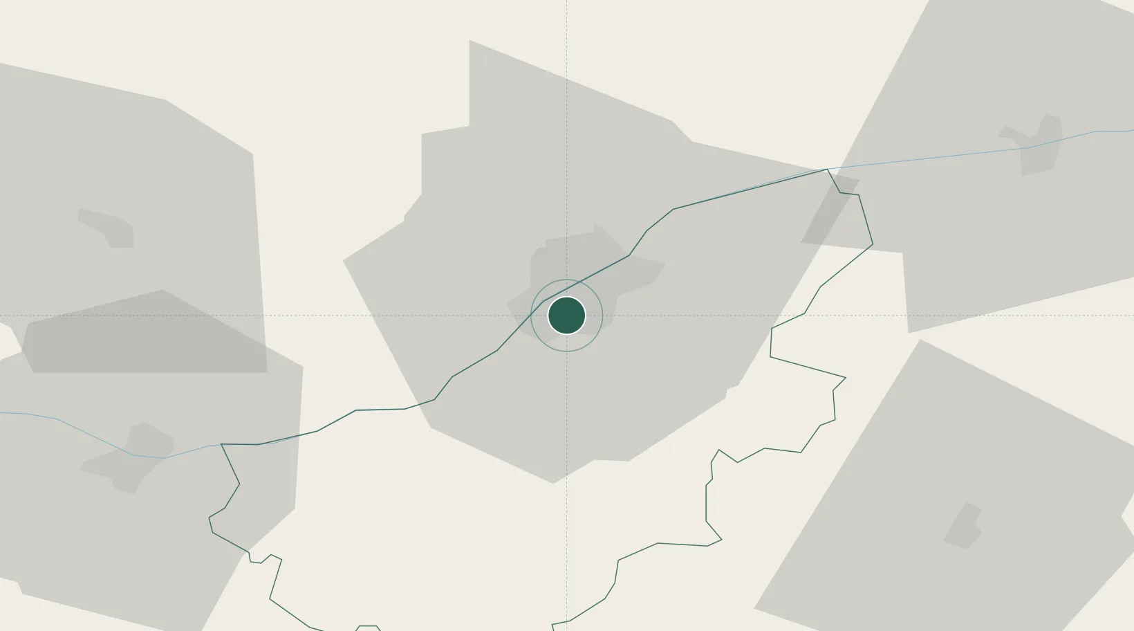
Location
Nearby Logistics Neighbours
Cities
- 1Giurgiu4 km
- 2Kubrat43 km
- 3Calomfiresti50 km
- 4Lomci52 km
- 5Alexandria53 km
Ports
- 1Varna178 km
- 2Burgas196 km
- 3Braila223 km
- 4Lagos324 km
- 5Alexandroupoli336 km
Airports
Trade Zones
- 1Free Zone Giurgiu5 km
- 2Rousse Free Zone6 km
- 3VGP Park Buharest North70 km
- 4Bourgas Free Economic Zone189 km
- 5Free Zone Galați191 km
DatabookThe Record of Consolidated Knowledge
Bulgaria beyond logistics?