Transport Functions
Rail
Road
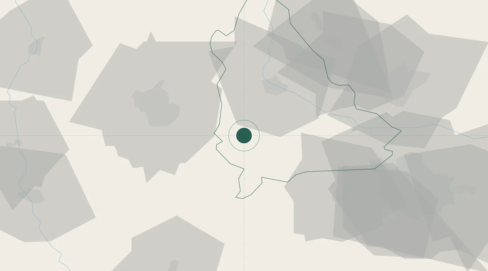
Hub Profile
Place type
Provincial seat
Region
Dâmbovița County
Population
15,037
Time zone
Europe/Bucharest
Elevation
186 m
Location
Nearby Logistics Neighbours
Cities
- 1Ulmi25 km
- 2Lunguletu29 km
- 3Pitesti34 km
- 4Stefanesti, Arges35 km
- 5Maracineni40 km
Airports
Trade Zones
- 1VGP Park Buharest North57 km
- 2Free Zone Giurgiu105 km
- 3VGP Park Brasov106 km
- 4Rousse Free Zone108 km
- 5VGP Park Sibiu154 km
DatabookThe Record of Consolidated Knowledge
Romania beyond logistics?