Transport Functions
Rail
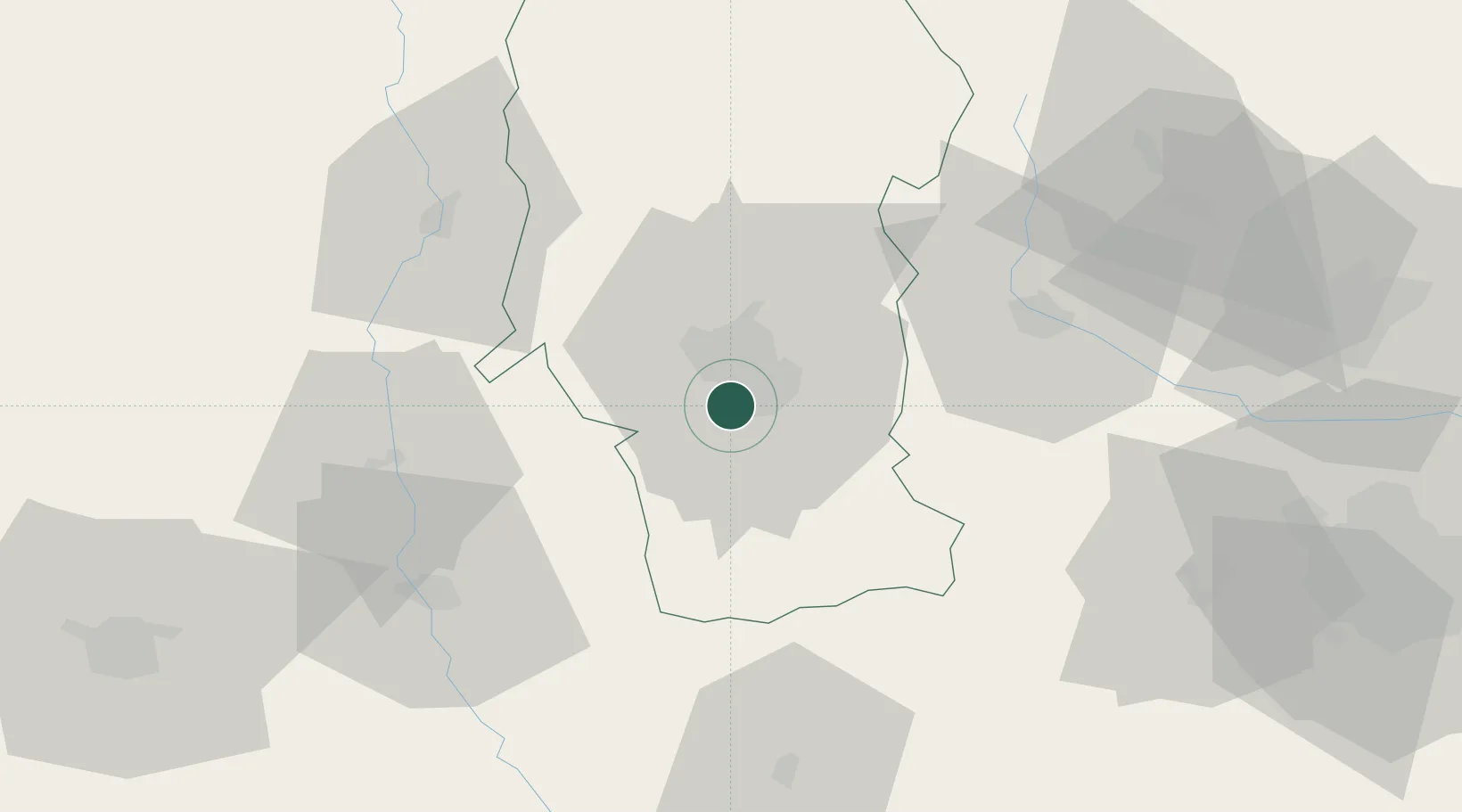
Hub Profile
Place type
Regional capital
Region
Arges
Population
141,275
Time zone
Europe/Bucharest
Elevation
307 m
Logistics facilities
1
Location
Nearby Logistics Neighbours
Cities
- 1Stefanesti, Arges10 km
- 2Maracineni14 km
- 3Stalpeni29 km
- 4Gaesti34 km
- 5Caldararu37 km
Airports
Trade Zones
- 1VGP Park Buharest North90 km
- 2VGP Park Brasov111 km
- 3VGP Park Sibiu129 km
- 4Free Zone Giurgiu130 km
- 5Rousse Free Zone134 km
DatabookThe Record of Consolidated Knowledge
Romania beyond logistics?