UN/LOCODE hub · Romania
ROMCI

Maracineni

44.9000°, 24.8833°
4,468
Population
1
Transport functions

Transport Functions

Multimodal
UN/LOCODE

Hub Profile

Place type
Provincial seat
GeoNames
Region
Arges
GeoNames
Population
4,468
GeoNames
Time zone
Europe/Bucharest
GeoNames
Elevation
274 m
GeoNames

Location

Location of ROMCI
Natural Earth 10m (public domain) · Arges · ROMCI · 44.90, 24.88GoogleOSMYandex

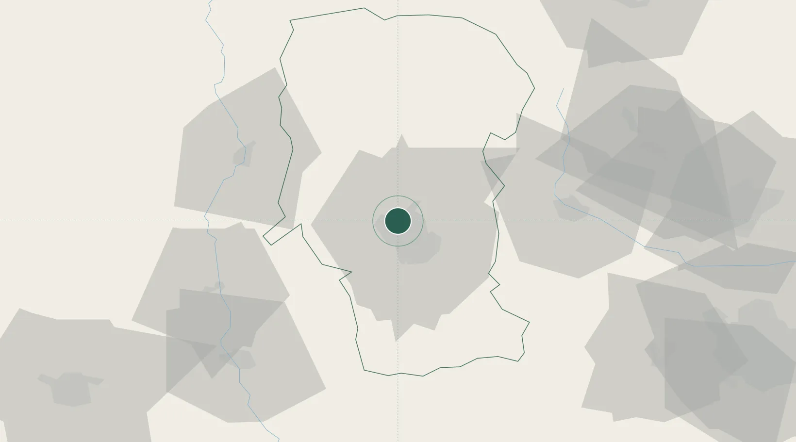
Nearby Logistics Neighbours

Cities
  1. 1Stefanesti, Arges5 km
  2. 2Pitesti14 km
  3. 3Stalpeni16 km
  4. 4Gaesti40 km
  5. 5Campulung Muscel42 km
Nearest neighbours — logibook spatial index (haversine) over the source coordinates
Ports
  1. 1Braila247 km
  2. 2Galati257 km
  3. 3Cernavoda258 km
  4. 4Reni274 km
  5. 5Medgidia278 km
Nearest neighbours — logibook spatial index (haversine) over the source coordinates
Airports
  1. 1Craiova International Airport102 km
  2. 2Brașov-Ghimbav International Airport103 km
  3. 3Bucharest Henri Coandă International Airport103 km
  4. 4Bucharest Băneasa Aurel Vlaicu International Airport106 km
  5. 5Sibiu International Airport117 km
Nearest neighbours — logibook spatial index (haversine) over the source coordinates
Trade Zones
  1. 1VGP Park Buharest North97 km
  2. 2VGP Park Brasov99 km
  3. 3VGP Park Sibiu117 km
  4. 4Free Zone Giurgiu141 km
  5. 5Rousse Free Zone145 km
Nearest neighbours — logibook spatial index (haversine) over the source coordinates
DatabookThe Record of Consolidated Knowledge
Romania beyond logistics?
Browse databook

All Sources

LocationsUN/LOCODE
UN/LOCODE — free
LocationsGeoNames
CC BY 4.0
Portsthe NGA World Port Index
Public domain (US gov)
AirportsOurAirports
Public domain
Trade Zonesthe World Bank SEZ database
CC BY 4.0
Trade ZonesOpen Zone Map
CC BY
← Romania locations