Transport Functions
Rail
Road
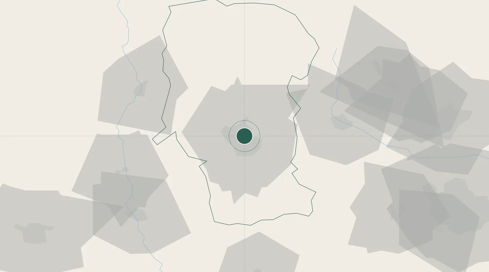
Location
Nearby Logistics Neighbours
Cities
- 1Maracineni5 km
- 2Pitesti10 km
- 3Stalpeni19 km
- 4Gaesti35 km
- 5Ulmi45 km
Airports
Trade Zones
- 1VGP Park Buharest North92 km
- 2VGP Park Brasov101 km
- 3VGP Park Sibiu122 km
- 4Free Zone Giurgiu136 km
- 5Rousse Free Zone139 km
DatabookThe Record of Consolidated Knowledge
Romania beyond logistics?