Transport Functions
Multimodal
Hub Profile
Place type
Provincial seat
Region
Dâmbovița County
Population
3,899
Time zone
Europe/Bucharest
Elevation
254 m
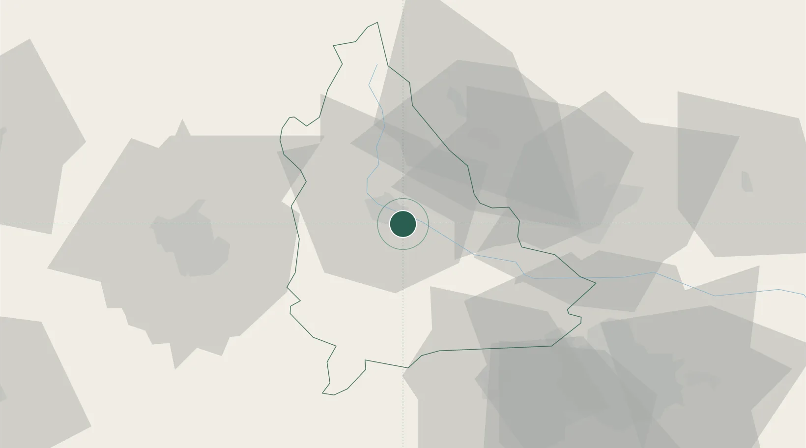
Location
Nearby Logistics Neighbours
Cities
- 1Moreni, Dimbovita16 km
- 2Filipestii de Padure23 km
- 3Gaesti25 km
- 4Magureni26 km
- 5Fieni27 km
Airports
Trade Zones
- 1VGP Park Buharest North59 km
- 2VGP Park Brasov84 km
- 3Free Zone Giurgiu118 km
- 4Rousse Free Zone120 km
- 5Free Zone Galați132 km
DatabookThe Record of Consolidated Knowledge
Romania beyond logistics?