Transport Functions
Rail
Road
Hub Profile
Place type
Provincial seat
Region
Dâmbovița County
Population
5,718
Time zone
Europe/Bucharest
Elevation
138 m
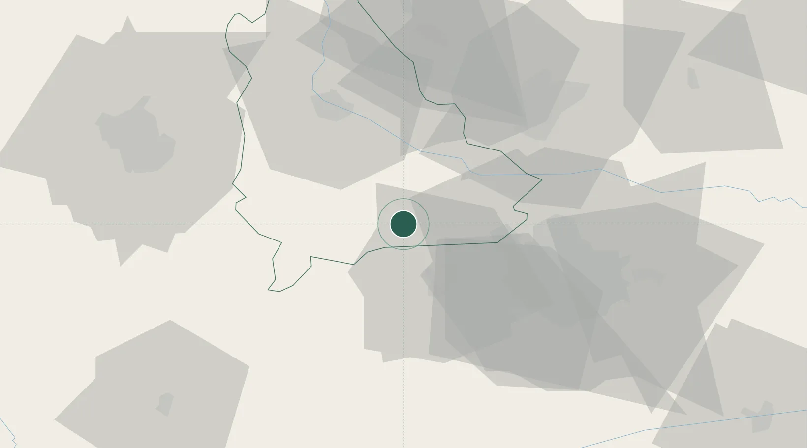
Location
Nearby Logistics Neighbours
Cities
- 1Bolintin Deal23 km
- 2Dragomiresti-Vale28 km
- 3Chitila28 km
- 4Gaesti29 km
- 5Dragomiresti-Deal29 km
Airports
Trade Zones
- 1VGP Park Buharest North29 km
- 2Free Zone Giurgiu84 km
- 3Rousse Free Zone86 km
- 4VGP Park Brasov116 km
- 5Free Zone Galați139 km
DatabookThe Record of Consolidated Knowledge
Romania beyond logistics?