Transport Functions
Port
Border Crossing
Hub Profile
Place type
Regional capital
Region
Călărași County
Population
6,687
Time zone
Europe/Bucharest
Elevation
18 m
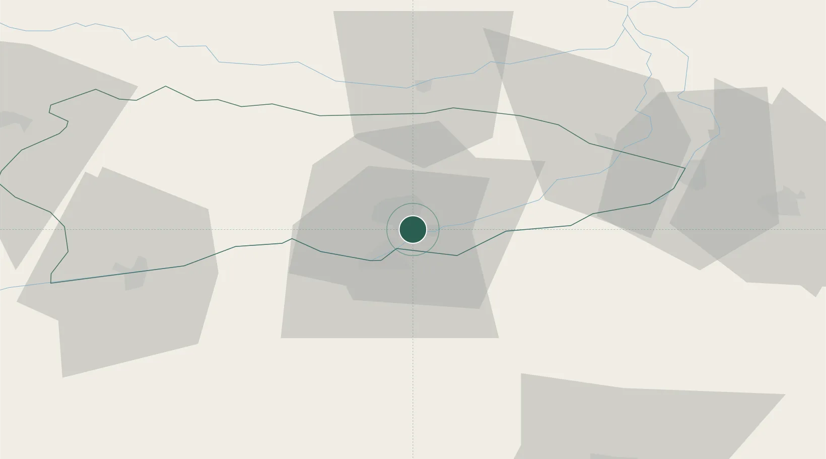
Location
Nearby Logistics Neighbours
Cities
- 1Isperih4 km
- 2Fetesti45 km
- 3Oltenita56 km
- 4Cernavoda57 km
- 5Ialomica, Judecul58 km
Airports
Trade Zones
- 1Free Zone Constanō£a Sud si Basarabi85 km
- 2Rousse Free Zone111 km
- 3VGP Park Buharest North114 km
- 4Free Zone Giurgiu115 km
- 5Free zone Brăila130 km
DatabookThe Record of Consolidated Knowledge
Romania beyond logistics?