Transport Functions
Port
Border Crossing
Hub Profile
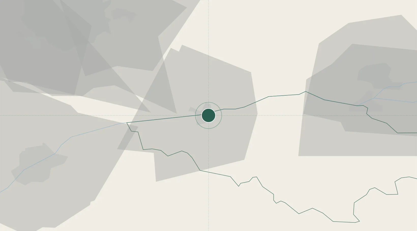
Place type
Populated place
Region
Călărași County
Population
22,624
Time zone
Europe/Bucharest
Elevation
14 m
Location
Nearby Logistics Neighbours
Cities
- 1Budesti, Calarasi22 km
- 2Kubrat34 km
- 3Lomci41 km
- 4Fundulea44 km
- 5Glina46 km
Airports
Trade Zones
- 1Rousse Free Zone55 km
- 2Free Zone Giurgiu59 km
- 3VGP Park Buharest North71 km
- 4Free Zone Constanō£a Sud si Basarabi139 km
- 5Free Zone Galați148 km
DatabookThe Record of Consolidated Knowledge
Romania beyond logistics?