Large airport · Romania

Mihail Kogălniceanu International AirportLRCK
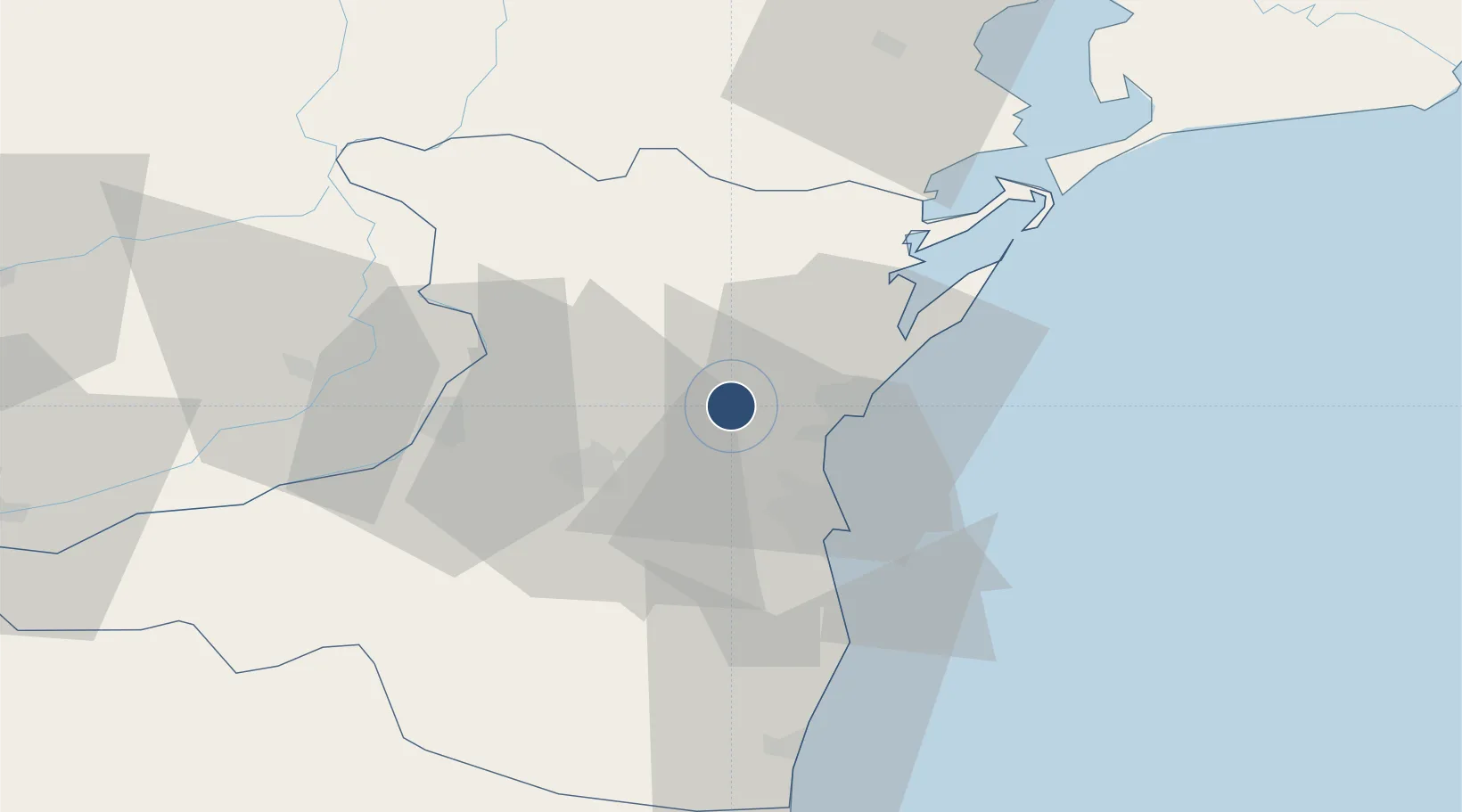
44.3622°, 28.4883°
11,483 ft
Longest runway
1
Runways
353 ft
Elevation

Runway & Layout

Mihail Kogălniceanu International Airport runway & taxiway layout
Runway & taxiway layout — OpenStreetMap (ODbL) / OurAirports

Radio Frequencies

ATIS
118.75 MHz
TWR
120.45 MHz
APP
122.9 MHz
BUCURESTI RDR
OurAirports

Navaids

CND VOR-DME Constanta 112.70 MHz
OurAirports

Runways · 1

RunwayDimensions SurfaceTrue headingLit
18/36 11,483 × 148ft Concrete 186°
OurAirports

Airport Specifications

IATA code
CND
OurAirports
ICAO code
LRCK
OurAirports
Airport class
Large airport
OurAirports
Scheduled service
Yes
OurAirports
Runway surface
Concrete
OurAirports
Served city
Constanța
OurAirports

Location

Location of LRCK
Natural Earth 10m (public domain) · Constanta · LRCK · 44.36, 28.49GoogleOSMYandex

Nearby Logistics Neighbours

Airports
  1. 1Feteşti Borcea Air Base61 km
  2. 2Tulcea Danube Delta Airport80 km
  3. 3Balchik Airfield107 km
  4. 4Varna Airport137 km
  5. 5Zhovtneve Air Base143 km
Nearest neighbours — logibook spatial index (haversine) over the source coordinates
Cities
  1. 1Lumina9 km
  2. 2Midia11 km
  3. 3Navodari11 km
  4. 4Ovidiu12 km
  5. 5Luminita16 km
Nearest neighbours — logibook spatial index (haversine) over the source coordinates
Ports
  1. 1Midia14 km
  2. 2Medgidia22 km
  3. 3Basarabi22 km
  4. 4Constanta25 km
  5. 5Cernavoda35 km
Nearest neighbours — logibook spatial index (haversine) over the source coordinates
Trade Zones
  1. 1Free Zone Constanō£a Sud si Basarabi33 km
  2. 2Free zone Brăila109 km
  3. 3Reni Special Economic Zone121 km
  4. 4Giurgiulesti International Free Port125 km
  5. 5Free Zone Sulina125 km
Nearest neighbours — logibook spatial index (haversine) over the source coordinates
DatabookThe Record of Consolidated Knowledge
Romania beyond logistics?
Browse databook

All Sources

AirportsOurAirports
Public domain
Portsthe NGA World Port Index
Public domain (US gov)
LocationsUN/LOCODE
UN/LOCODE — free
Trade Zonesthe World Bank SEZ database
CC BY 4.0
Trade ZonesOpen Zone Map
CC BY
InfrastructureOpenStreetMap
ODbL 1.0
← Romania airports