Transport Functions
Rail
Road
Hub Profile
Region
IL
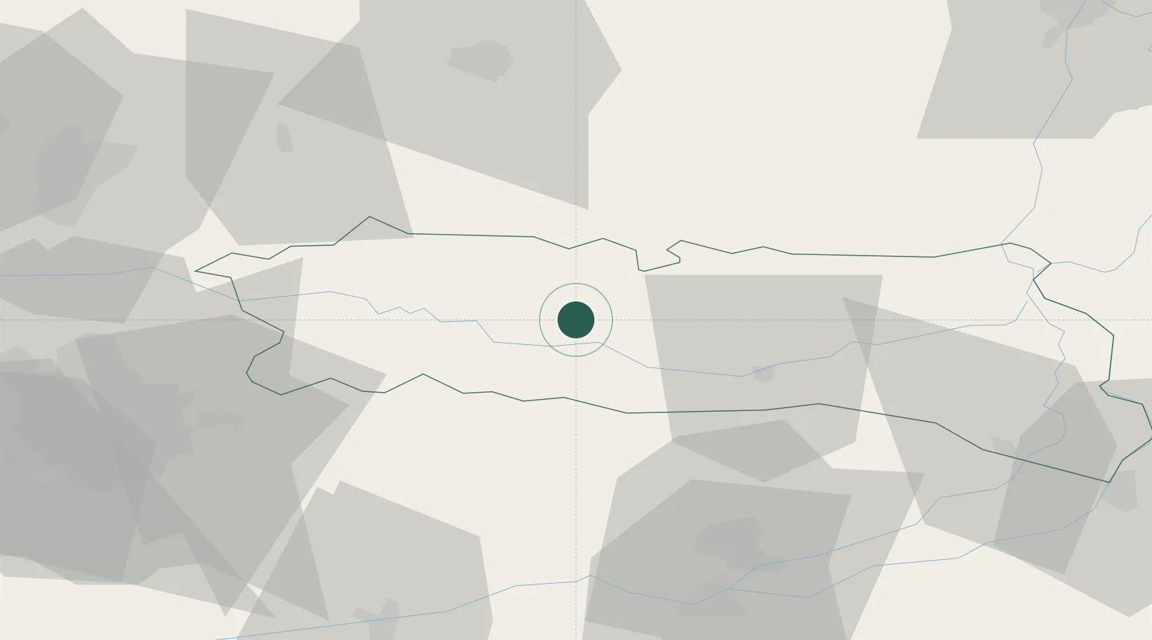
Location
Nearby Logistics Neighbours
Cities
- 1Fundulea44 km
- 2Ulmeni52 km
- 3Sindrilita57 km
- 4Turturesti58 km
- 5Calarasi58 km
Airports
Trade Zones
- 1Free Zone Galați80 km
- 2VGP Park Buharest North86 km
- 3Free zone Brăila102 km
- 4Rousse Free Zone117 km
- 5Free Zone Giurgiu120 km
DatabookThe Record of Consolidated Knowledge
Romania beyond logistics?