Transport Functions
Port
Road
Hub Profile
Place type
Provincial seat
Region
Ialomița County
Population
32,866
Time zone
Europe/Bucharest
Elevation
59 m
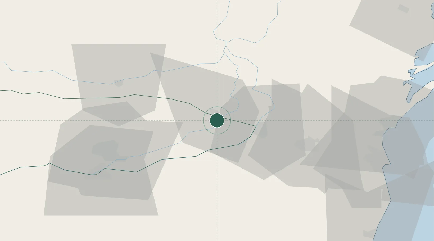
Location
Nearby Logistics Neighbours
Airports
- 1Feteşti Borcea Air Base9 km
- 2Mihail Kogălniceanu International Airport52 km
- 3Tulcea Danube Delta Airport103 km
- 4Balchik Airfield110 km
- 5Boboc Air Base115 km
Trade Zones
- 1Free Zone Constanō£a Sud si Basarabi56 km
- 2Free zone Brăila100 km
- 3Reni Special Economic Zone123 km
- 4Giurgiulesti International Free Port124 km
- 5Free Zone Galați128 km
DatabookThe Record of Consolidated Knowledge
Romania beyond logistics?