UN/LOCODE hub · Romania
ROCEV

Cernavoda

44.3500°, 28.0167°
18,502
Population
2
Transport functions

Transport Functions

Port
Border Crossing
Cernavoda is also a profiled seaport →
UN/LOCODE

Hub Profile

Place type
Provincial seat
GeoNames
Region
Constanța County
GeoNames
Population
18,502
GeoNames
Time zone
Europe/Bucharest
GeoNames
Elevation
15 m
GeoNames

Location

Location of ROCEV
Natural Earth 10m (public domain) · Constanța County · ROCEV · 44.35, 28.02GoogleOSMYandex

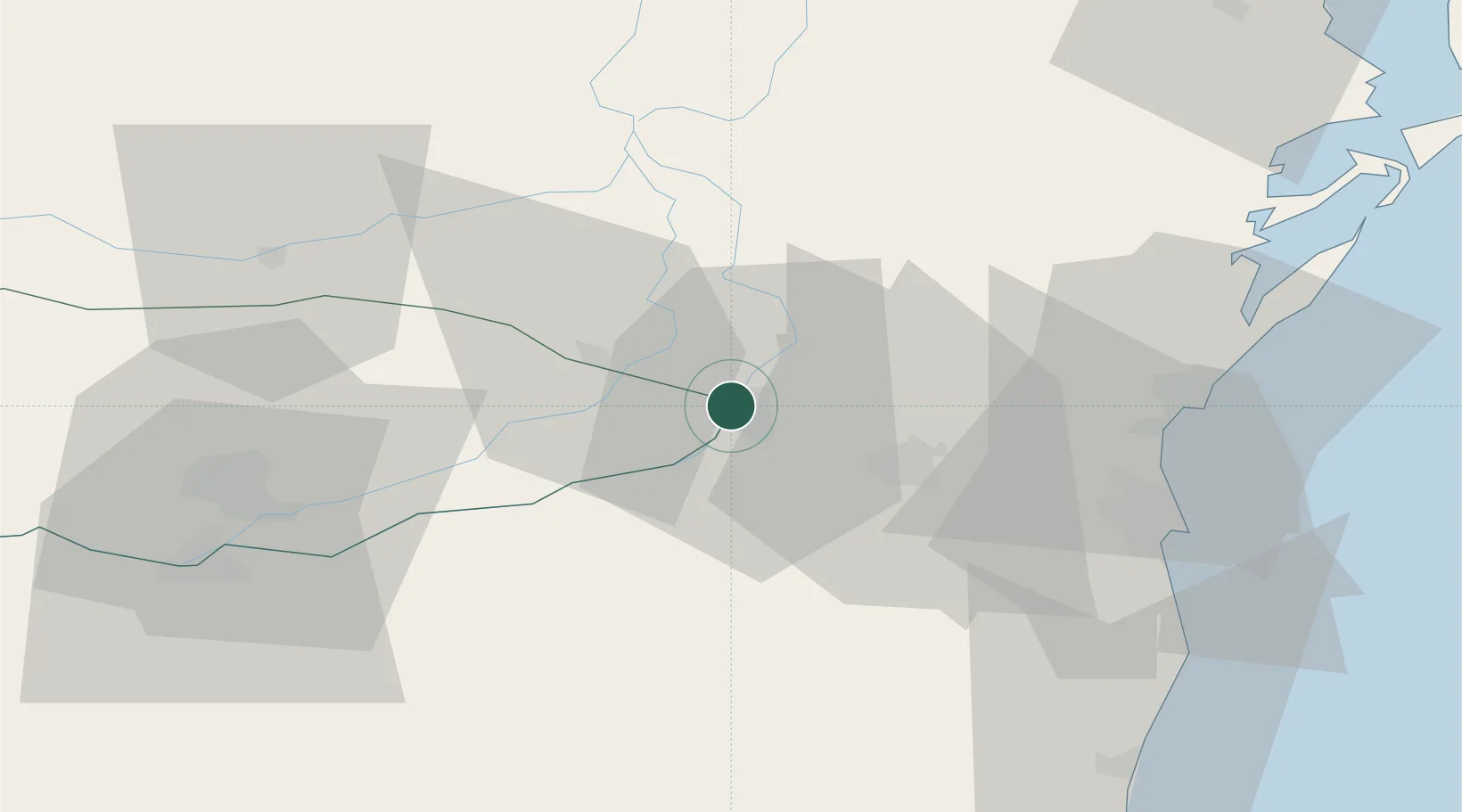
Nearby Logistics Neighbours

Cities
  1. 1Fetesti15 km
  2. 2Medgidia23 km
  3. 3Poarta Alba34 km
  4. 4Basarabi35 km
  5. 5Hârsova37 km
Nearest neighbours — logibook spatial index (haversine) over the source coordinates
Ports
  1. 1Medgidia23 km
  2. 2Basarabi39 km
  3. 3Midia52 km
  4. 4Constanta54 km
  5. 5Mangalia75 km
Nearest neighbours — logibook spatial index (haversine) over the source coordinates
Airports
  1. 1Feteşti Borcea Air Base24 km
  2. 2Mihail Kogălniceanu International Airport38 km
  3. 3Tulcea Danube Delta Airport97 km
  4. 4Balchik Airfield104 km
  5. 5Varna Airport125 km
Nearest neighbours — logibook spatial index (haversine) over the source coordinates
Trade Zones
  1. 1Free Zone Constanō£a Sud si Basarabi42 km
  2. 2Free zone Brăila103 km
  3. 3Reni Special Economic Zone123 km
  4. 4Giurgiulesti International Free Port125 km
  5. 5Free Zone Galați139 km
Nearest neighbours — logibook spatial index (haversine) over the source coordinates
DatabookThe Record of Consolidated Knowledge
Romania beyond logistics?
Browse databook

All Sources

LocationsUN/LOCODE
UN/LOCODE — free
LocationsGeoNames
CC BY 4.0
Portsthe NGA World Port Index
Public domain (US gov)
AirportsOurAirports
Public domain
Trade Zonesthe World Bank SEZ database
CC BY 4.0
Trade ZonesOpen Zone Map
CC BY
← Romania locations