Transport Functions
Multimodal
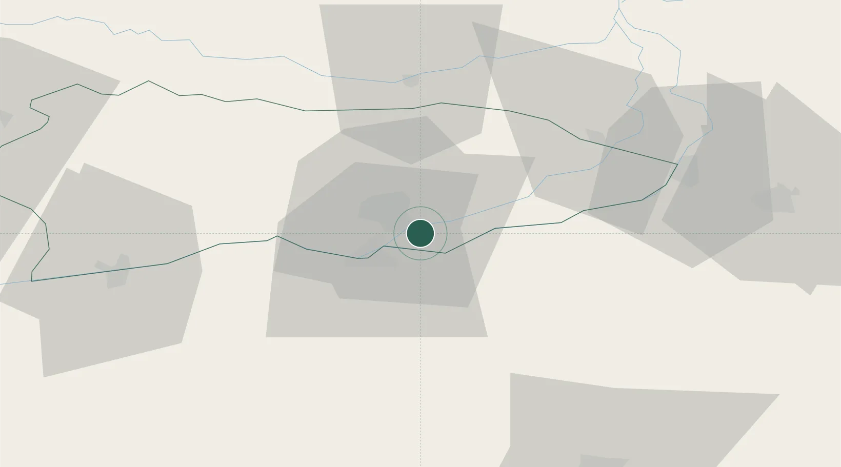
Hub Profile
Place type
Populated place
Region
Razgrad
Population
9,735
Time zone
Europe/Sofia
Elevation
279 m
Location
Nearby Logistics Neighbours
Cities
- 1Calarasi4 km
- 2Fetesti42 km
- 3Cernavoda54 km
- 4Oltenita60 km
- 5Ialomica, Judecul62 km
Airports
Trade Zones
- 1Free Zone Constanō£a Sud si Basarabi81 km
- 2Rousse Free Zone114 km
- 3VGP Park Buharest North118 km
- 4Free Zone Giurgiu118 km
- 5Free zone Brăila130 km
DatabookThe Record of Consolidated Knowledge
Bulgaria beyond logistics?