Transport Functions
Port
Hub Profile
Region
2
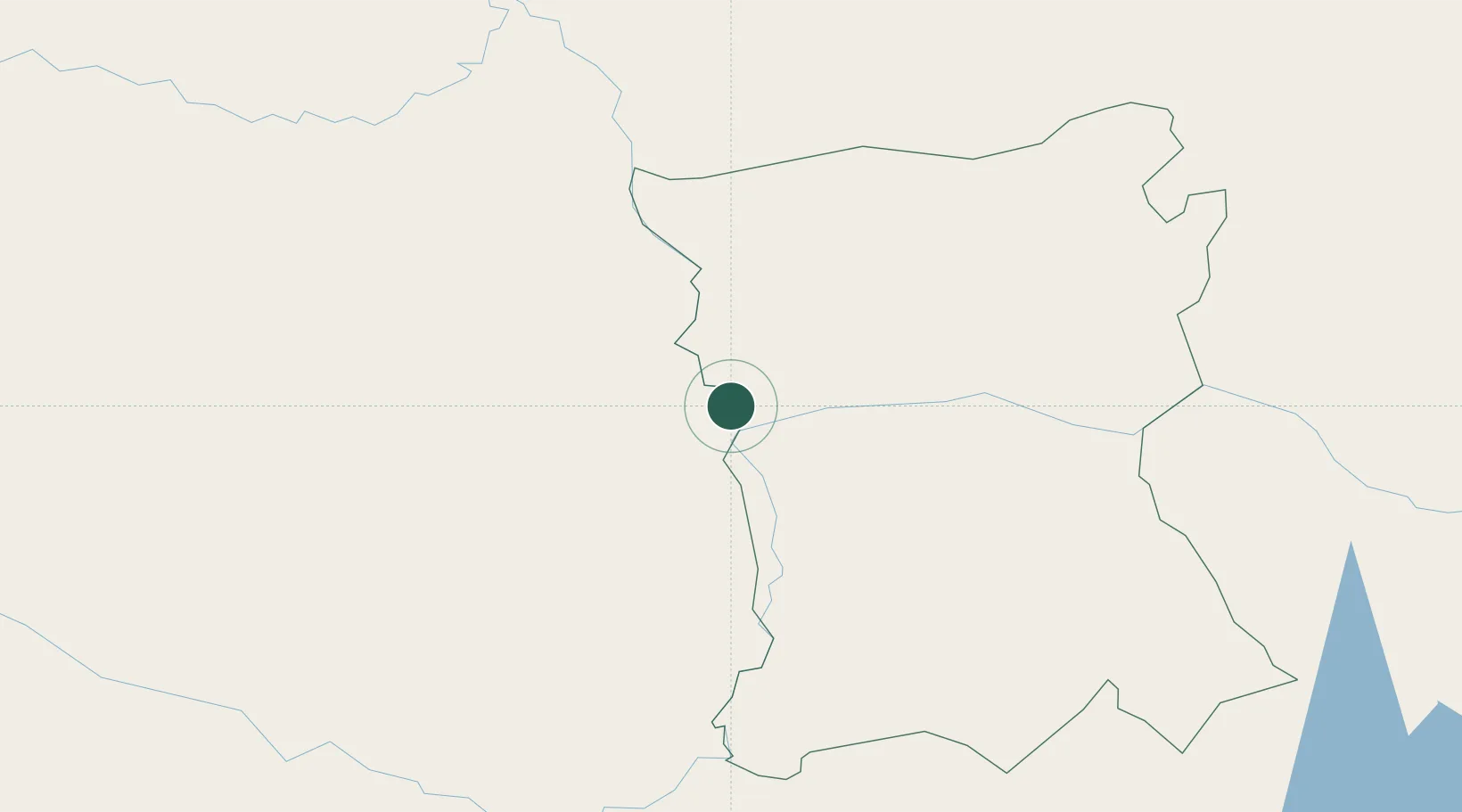
Location
Nearby Logistics Neighbours
Cities
- 1Concepción80 km
- 2Arroyos y Esteros110 km
- 3Villa Hayes119 km
- 4Colonia Mariano Roque Alonso126 km
- 5Limpio127 km
Ports
- 1Puerto De Asuncion140 km
- 2Concordia818 km
- 3Porto Alegre887 km
- 4Paranagua890 km
- 5Sao Francisco895 km
Airports
Trade Zones
- 1Zona Franca Global296 km
- 2Zona Franca Internacional297 km
- 3Zona Franca Puerto Iguazu Free Trade Zone315 km
- 4ZPE de Bataguassú (MS)558 km
- 5ZPE DE Corumbá567 km
DatabookThe Record of Consolidated Knowledge
Paraguay beyond logistics?