UN/LOCODE hub · Paraguay
PYVHS

Villa Hayes

-25.1000°, -57.5667°
57,217
Population
1
Transport functions

Transport Functions

Multimodal
UN/LOCODE

Hub Profile

Place type
Regional capital
GeoNames
Region
Presidente Hayes
GeoNames
Population
57,217
GeoNames
Time zone
America/Asuncion
GeoNames
Elevation
58 m
GeoNames

Location

Location of PYVHS
Natural Earth 10m (public domain) · Presidente Hayes · PYVHS · -25.10, -57.57GoogleOSMYandex

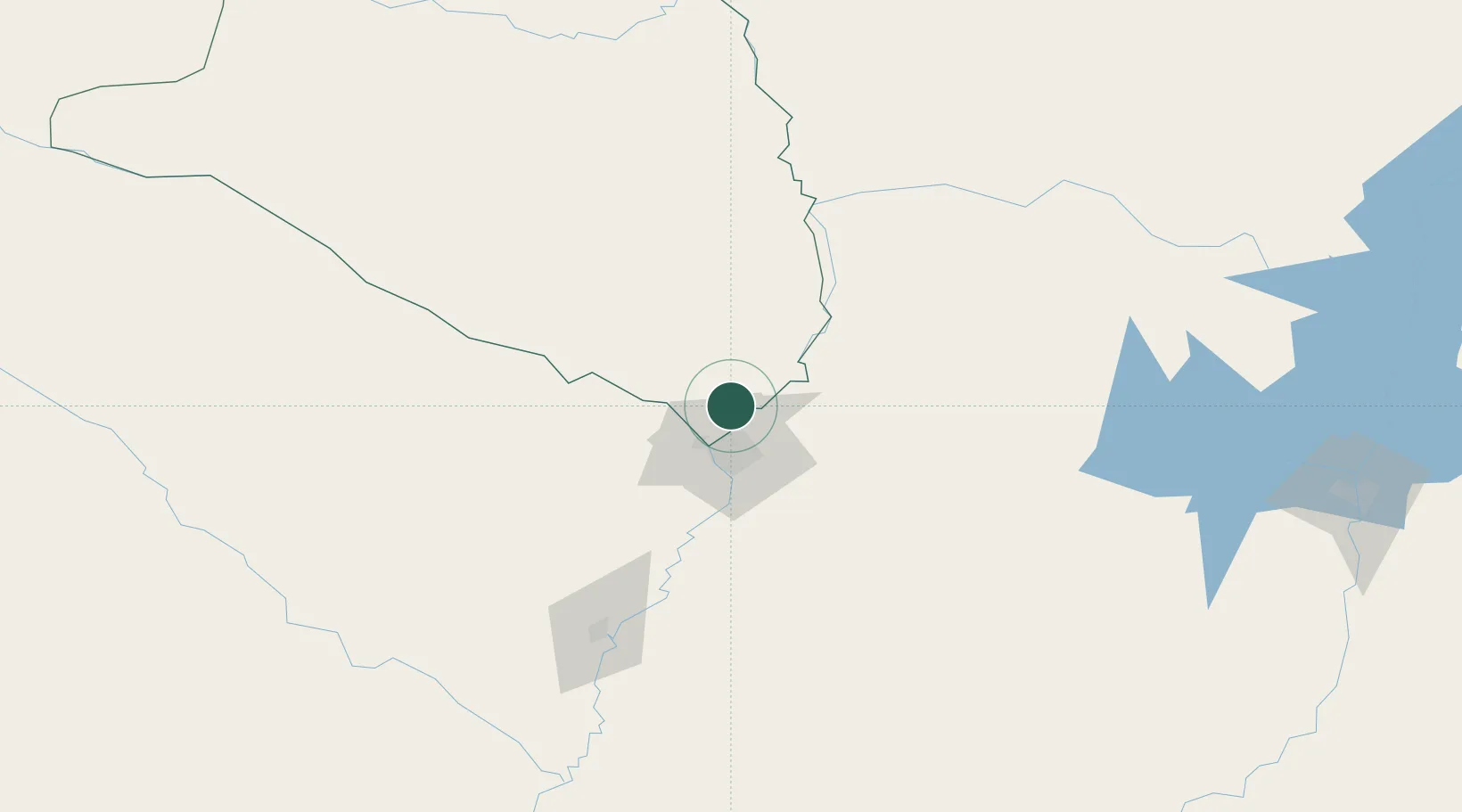
Nearby Logistics Neighbours

Cities
  1. 1Colonia Mariano Roque Alonso8 km
  2. 2Limpio10 km
  3. 3Barrio Caacupé Mí13 km
  4. 4Asunción24 km
  5. 5Lambare29 km
Nearest neighbours — logibook spatial index (haversine) over the source coordinates
Ports
  1. 1Puerto De Asuncion22 km
  2. 2Concordia702 km
  3. 3Santa Fe790 km
  4. 4Parana791 km
  5. 5Colon793 km
Nearest neighbours — logibook spatial index (haversine) over the source coordinates
Airports
  1. 1Silvio Pettirossi International Airport16 km
  2. 2Aeropuerto Nacional de Coronel Oviedo126 km
  3. 3Formosa National Airport140 km
  4. 4Lieutenant Colonel Carmelo Peralta National Airport185 km
  5. 5Aeródromo Don Carlos Miguel Gimenez212 km
Nearest neighbours — logibook spatial index (haversine) over the source coordinates
Trade Zones
  1. 1Zona Franca Global290 km
  2. 2Zona Franca Internacional291 km
  3. 3Zona Franca Puerto Iguazu Free Trade Zone307 km
  4. 4ZPE de Bataguassú (MS)648 km
  5. 5ZPE DE Corumbá678 km
Nearest neighbours — logibook spatial index (haversine) over the source coordinates
DatabookThe Record of Consolidated Knowledge
Paraguay beyond logistics?
Browse databook

All Sources

LocationsUN/LOCODE
UN/LOCODE — free
LocationsGeoNames
CC BY 4.0
Portsthe NGA World Port Index
Public domain (US gov)
AirportsOurAirports
Public domain
Trade Zonesthe World Bank SEZ database
CC BY 4.0
Trade ZonesOpen Zone Map
CC BY
← Paraguay locations