UN/LOCODE hub · Paraguay
PYMRA

Colonia Mariano Roque Alonso

-25.1667°, -57.5500°
2
Transport functions

Transport Functions

Port
Road
UN/LOCODE

Hub Profile

Region
11
GeoNames

Location

Location of PYMRA
Natural Earth 10m (public domain) · 11 · PYMRA · -25.17, -57.55GoogleOSMYandex

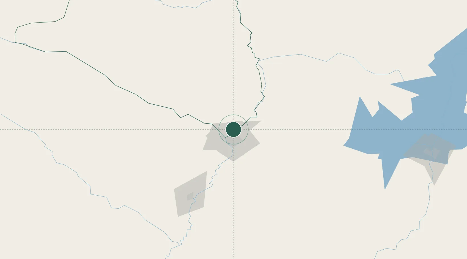
Nearby Logistics Neighbours

Cities
  1. 1Limpio3 km
  2. 2Barrio Caacupé Mí6 km
  3. 3Villa Hayes8 km
  4. 4Asunción16 km
  5. 5Lambare23 km
Nearest neighbours — logibook spatial index (haversine) over the source coordinates
Ports
  1. 1Puerto De Asuncion17 km
  2. 2Concordia695 km
  3. 3Santa Fe784 km
  4. 4Parana785 km
  5. 5Colon786 km
Nearest neighbours — logibook spatial index (haversine) over the source coordinates
Airports
  1. 1Silvio Pettirossi International Airport9 km
  2. 2Aeropuerto Nacional de Coronel Oviedo121 km
  3. 3Formosa National Airport135 km
  4. 4Lieutenant Colonel Carmelo Peralta National Airport192 km
  5. 5Aeródromo Don Carlos Miguel Gimenez206 km
Nearest neighbours — logibook spatial index (haversine) over the source coordinates
Trade Zones
  1. 1Zona Franca Global287 km
  2. 2Zona Franca Internacional288 km
  3. 3Zona Franca Puerto Iguazu Free Trade Zone304 km
  4. 4ZPE de Bataguassú (MS)651 km
  5. 5Rivera Free Zone671 km
Nearest neighbours — logibook spatial index (haversine) over the source coordinates
DatabookThe Record of Consolidated Knowledge
Paraguay beyond logistics?
Browse databook

All Sources

LocationsUN/LOCODE
UN/LOCODE — free
Portsthe NGA World Port Index
Public domain (US gov)
AirportsOurAirports
Public domain
Trade Zonesthe World Bank SEZ database
CC BY 4.0
Trade ZonesOpen Zone Map
CC BY
← Paraguay locations