UN/LOCODE hub · Paraguay
PYPSA

Puerto Sara

-25.4333°, -57.5333°
1
Transport functions

Transport Functions

Port
UN/LOCODE

Hub Profile

Place type
Populated place
GeoNames
Region
Central Department
GeoNames
Time zone
America/Asuncion
GeoNames
Elevation
71 m
GeoNames

Location

Location of PYPSA
Natural Earth 10m (public domain) · Central Department · PYPSA · -25.43, -57.53GoogleOSMYandex

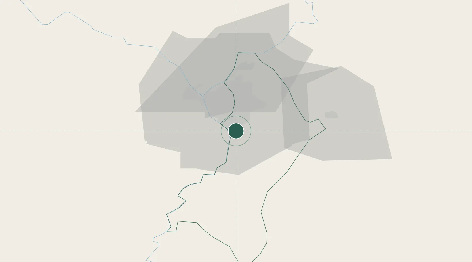
Nearby Logistics Neighbours

Cities
  1. 1Ypane2 km
  2. 2San Antonio2 km
  3. 3Terport (San Antonio)12 km
  4. 4Asunción14 km
  5. 5Villeta15 km
Nearest neighbours — logibook spatial index (haversine) over the source coordinates
Ports
  1. 1Puerto De Asuncion24 km
  2. 2Concordia665 km
  3. 3Colon757 km
  4. 4Santa Fe757 km
  5. 5Parana758 km
Nearest neighbours — logibook spatial index (haversine) over the source coordinates
Airports
  1. 1Silvio Pettirossi International Airport22 km
  2. 2Formosa National Airport111 km
  3. 3Aeropuerto Nacional de Coronel Oviedo114 km
  4. 4Aeródromo Don Carlos Miguel Gimenez179 km
  5. 5Lieutenant Colonel Carmelo Peralta National Airport222 km
Nearest neighbours — logibook spatial index (haversine) over the source coordinates
Trade Zones
  1. 1Zona Franca Global283 km
  2. 2Zona Franca Internacional284 km
  3. 3Zona Franca Puerto Iguazu Free Trade Zone299 km
  4. 4Rivera Free Zone643 km
  5. 5ZPE de Bataguassú (MS)668 km
Nearest neighbours — logibook spatial index (haversine) over the source coordinates
DatabookThe Record of Consolidated Knowledge
Paraguay beyond logistics?
Browse databook

All Sources

LocationsUN/LOCODE
UN/LOCODE — free
Portsthe NGA World Port Index
Public domain (US gov)
AirportsOurAirports
Public domain
Trade Zonesthe World Bank SEZ database
CC BY 4.0
Trade ZonesOpen Zone Map
CC BY
← Paraguay locations