Transport Functions
Road
Multimodal
Hub Profile
Place type
Populated place
Region
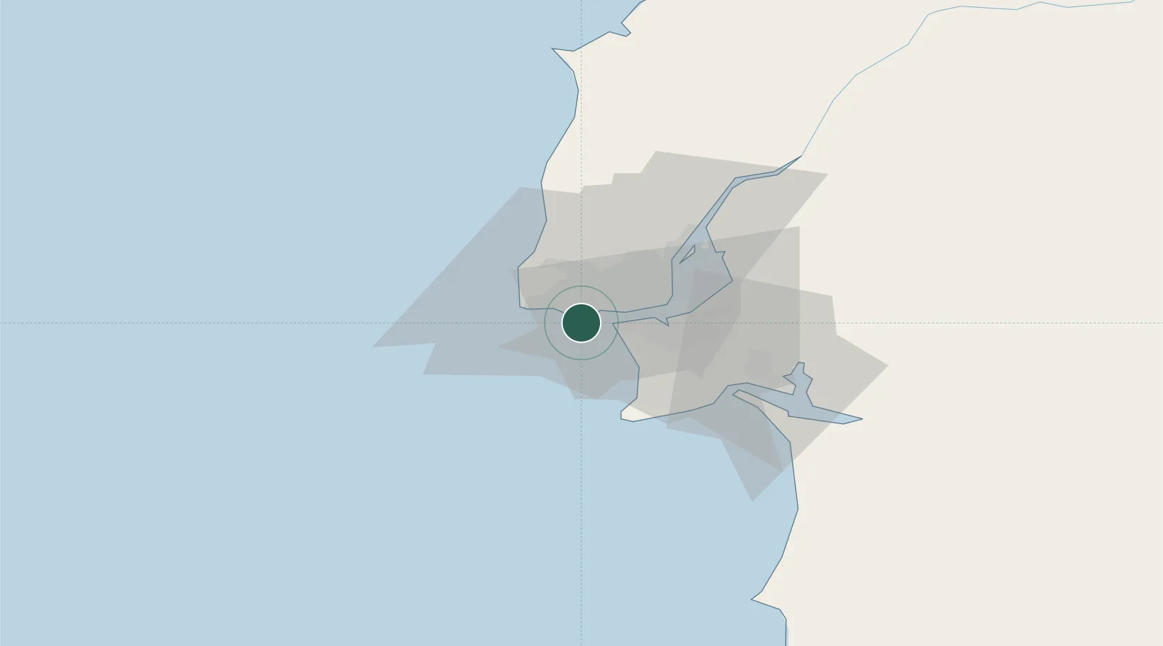
Lisbon
Time zone
Europe/Lisbon
Elevation
118 m
Location
Nearby Logistics Neighbours
Cities
- 1Oeiras2 km
- 2Parede2 km
- 3São Domingos de Rana4 km
- 4Paço de Arcos5 km
- 5Aboboda6 km
Ports
- 1Lisboa15 km
- 2Setubal41 km
- 3Sines90 km
- 4Figueira Da Foz170 km
- 5Lagos185 km
Airports
- 1Cascais Airport7 km
- 2Sintra Air Base18 km
- 3Lisbon Humberto Delgado Airport21 km
- 4Montijo Air Base26 km
- 5Alverca Air Base36 km
Trade Zones
- 1VGP Park Santa Maria da Feira260 km
- 2Puerto de Huelva260 km
- 3Zona Livre Tecnológica Masotinhos284 km
- 4Zona Franca de Sevilla327 km
- 5Zona Franca de Cádiz362 km
DatabookThe Record of Consolidated Knowledge
Portugal beyond logistics?