UN/LOCODE hub · Portugal
PTPCS
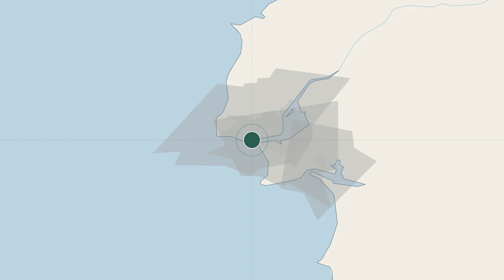
Paço de Arcos
38.6833°, -9.2833°
25,974
Population
2
Transport functions
Transport Functions
Rail
Road
Hub Profile
Place type
Populated place
Region
Lisbon
Population
25,974
Time zone
Europe/Lisbon
Elevation
15 m
Location
Nearby Logistics Neighbours
Cities
- 1Caxias2 km
- 2Terrugem2 km
- 3Oeiras3 km
- 4Torrão3 km
- 5Porto Salvo4 km
Ports
- 1Lisboa10 km
- 2Setubal38 km
- 3Sines89 km
- 4Figueira Da Foz167 km
- 5Lagos186 km
Airports
- 1Cascais Airport8 km
- 2Lisbon Humberto Delgado Airport17 km
- 3Sintra Air Base17 km
- 4Montijo Air Base22 km
- 5Alverca Air Base31 km
Trade Zones
- 1VGP Park Santa Maria da Feira257 km
- 2Puerto de Huelva258 km
- 3Zona Livre Tecnológica Masotinhos282 km
- 4Zona Franca de Sevilla324 km
- 5Zona Franca de Cádiz360 km
DatabookThe Record of Consolidated Knowledge
Portugal beyond logistics?