Transport Functions
Rail
Road
Hub Profile
Place type
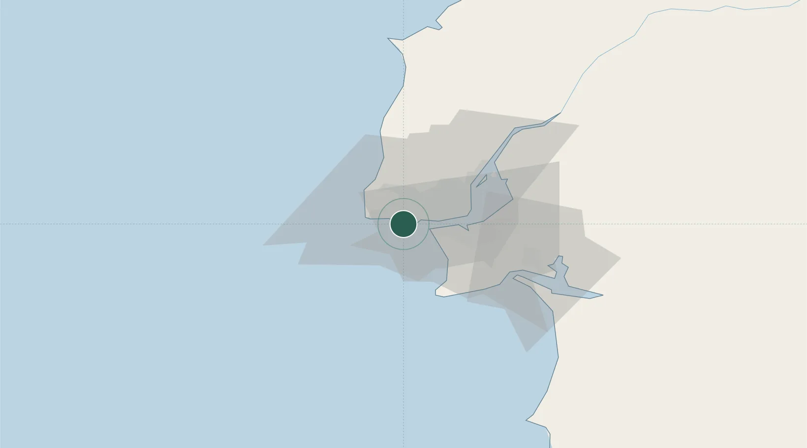
Populated place
Region
Lisbon
Population
17,212
Time zone
Europe/Lisbon
Elevation
52 m
Location
Nearby Logistics Neighbours
Cities
- 1São Domingos de Rana2 km
- 2Trajouce2 km
- 3Oeiras3 km
- 4Aboboda4 km
- 5Estoril5 km
Ports
- 1Lisboa16 km
- 2Setubal43 km
- 3Sines92 km
- 4Figueira Da Foz169 km
- 5Lagos187 km
Airports
- 1Cascais Airport5 km
- 2Sintra Air Base17 km
- 3Lisbon Humberto Delgado Airport22 km
- 4Montijo Air Base28 km
- 5Alverca Air Base36 km
Trade Zones
- 1VGP Park Santa Maria da Feira259 km
- 2Puerto de Huelva263 km
- 3Zona Livre Tecnológica Masotinhos283 km
- 4Zona Franca de Sevilla330 km
- 5Zona Franca de Cádiz364 km
DatabookThe Record of Consolidated Knowledge
Portugal beyond logistics?