UN/LOCODE hub · Portugal
PTSDR
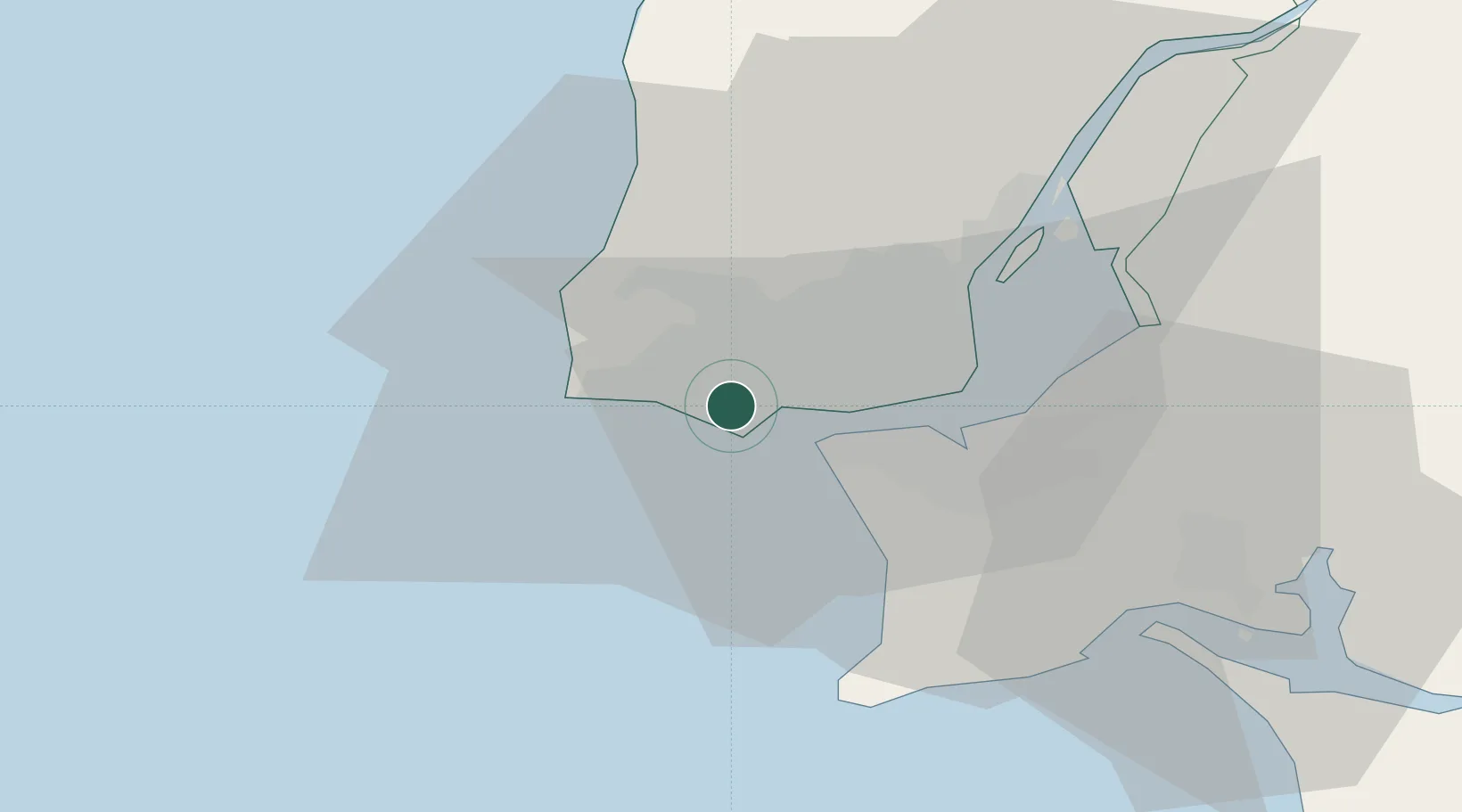
São Domingos de Rana
38.7000°, -9.3333°
46,718
Population
2
Transport functions
Transport Functions
Rail
Road
Hub Profile
Place type
Populated place
Region
Lisbon
Population
46,718
Time zone
Europe/Lisbon
Elevation
72 m
Location
Nearby Logistics Neighbours
Cities
- 1Aboboda2 km
- 2Oeiras2 km
- 3Parede2 km
- 4Porto Salvo3 km
- 5Trajouce4 km
Ports
- 1Lisboa15 km
- 2Setubal43 km
- 3Sines93 km
- 4Figueira Da Foz167 km
- 5Lagos189 km
Airports
- 1Cascais Airport3 km
- 2Sintra Air Base15 km
- 3Lisbon Humberto Delgado Airport19 km
- 4Montijo Air Base26 km
- 5Alverca Air Base33 km
Trade Zones
- 1VGP Park Santa Maria da Feira257 km
- 2Puerto de Huelva263 km
- 3Zona Livre Tecnológica Masotinhos281 km
- 4Zona Franca de Sevilla329 km
- 5Zona Franca de Cádiz364 km
DatabookThe Record of Consolidated Knowledge
Portugal beyond logistics?