Transport Functions
Rail
Road
Multimodal
Hub Profile
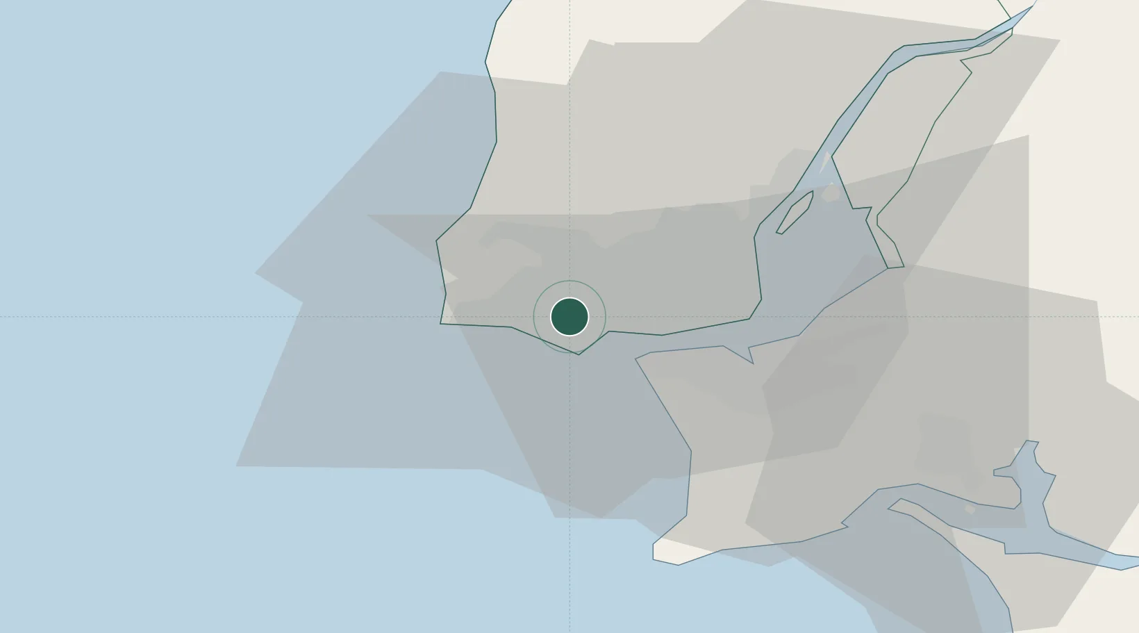
Region
11
Location
Nearby Logistics Neighbours
Cities
- 1São Domingos de Rana2 km
- 2Porto Salvo3 km
- 3Oeiras4 km
- 4Parede4 km
- 5Barcarena5 km
Ports
- 1Lisboa15 km
- 2Setubal44 km
- 3Sines95 km
- 4Figueira Da Foz165 km
- 5Lagos190 km
Airports
- 1Cascais Airport2 km
- 2Sintra Air Base13 km
- 3Lisbon Humberto Delgado Airport19 km
- 4Montijo Air Base26 km
- 5Alverca Air Base32 km
Trade Zones
- 1VGP Park Santa Maria da Feira255 km
- 2Puerto de Huelva264 km
- 3Zona Livre Tecnológica Masotinhos279 km
- 4Zona Franca de Sevilla330 km
- 5Zona Franca de Cádiz366 km
DatabookThe Record of Consolidated Knowledge
Portugal beyond logistics?