Transport Functions
Port
Rail
Road
Hub Profile
Place type
Provincial seat
Region
Lisbon
Population
35,000
Time zone
Europe/Lisbon
Elevation
36 m
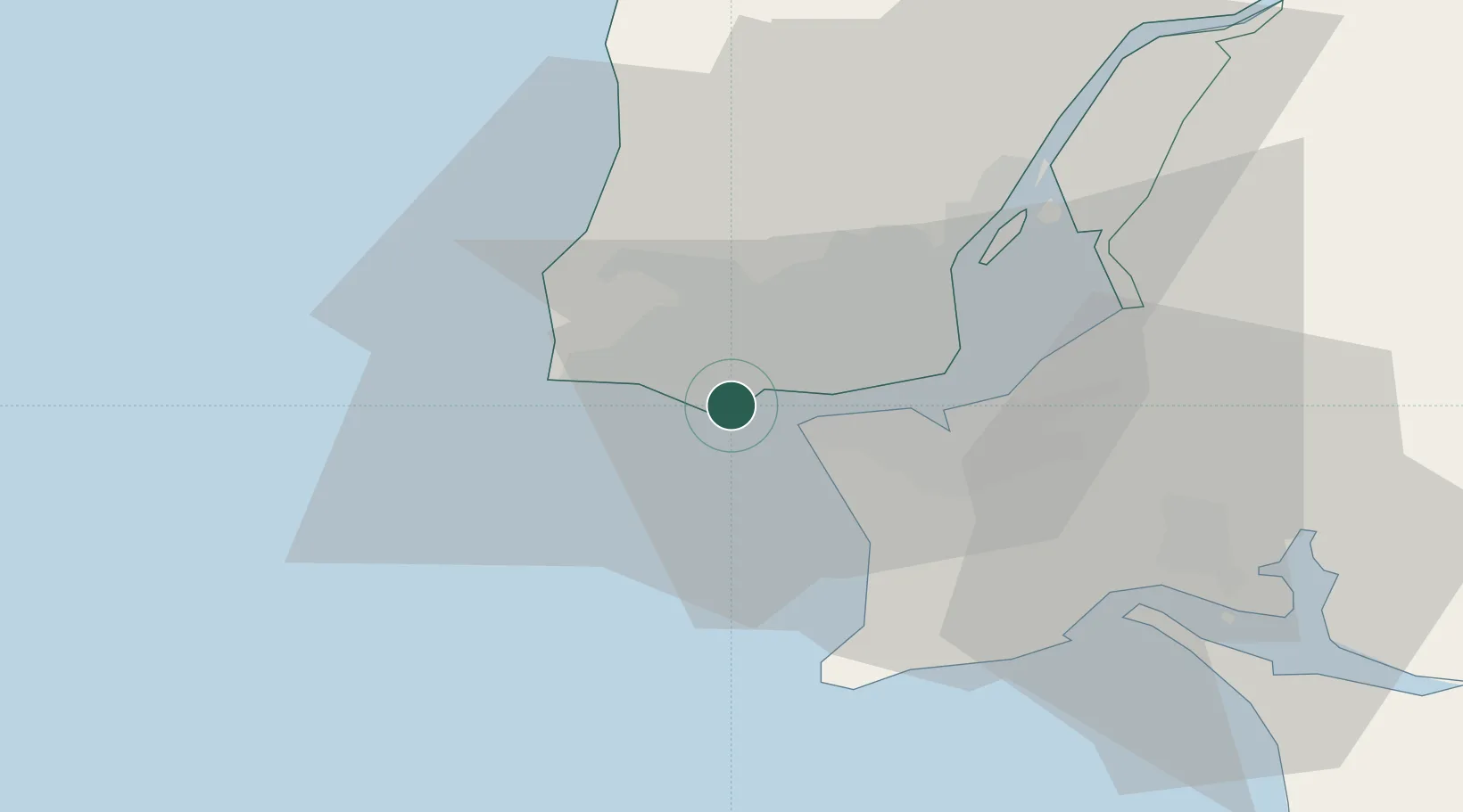
Location
Nearby Logistics Neighbours
Cities
- 1São Domingos de Rana2 km
- 2Trajouce2 km
- 3Parede3 km
- 4Paço de Arcos3 km
- 5Caxias3 km
Ports
- 1Lisboa13 km
- 2Setubal41 km
- 3Sines91 km
- 4Figueira Da Foz168 km
- 5Lagos187 km
Airports
- 1Cascais Airport6 km
- 2Sintra Air Base17 km
- 3Lisbon Humberto Delgado Airport19 km
- 4Montijo Air Base25 km
- 5Alverca Air Base33 km
Trade Zones
- 1VGP Park Santa Maria da Feira258 km
- 2Puerto de Huelva260 km
- 3Zona Livre Tecnológica Masotinhos282 km
- 4Zona Franca de Sevilla327 km
- 5Zona Franca de Cádiz362 km
DatabookThe Record of Consolidated Knowledge
Portugal beyond logistics?