Transport Functions
Rail
Road
Hub Profile
Place type
Provincial seat
Region
Faro
Population
5,089
Time zone
Europe/Lisbon
Elevation
6 m
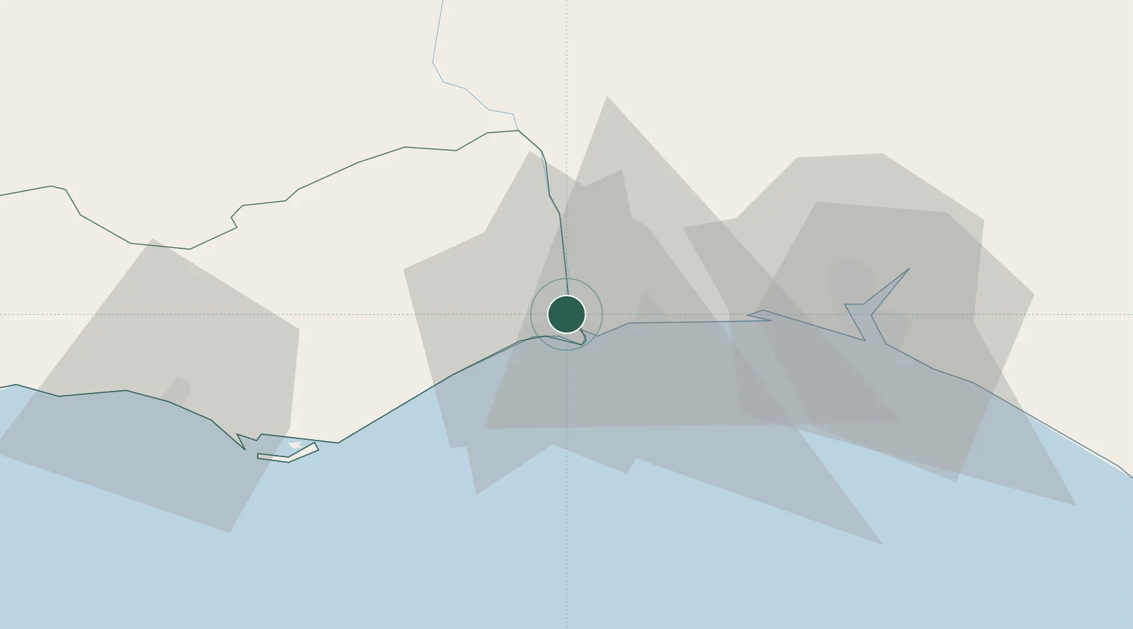
Location
Nearby Logistics Neighbours
Cities
- 1Vila Real de Santo António2 km
- 2Isla Cristina9 km
- 3Tavira22 km
- 4Santa Luzia23 km
- 5La Barca Florida25 km
Ports
- 1Vila Real De S Antonio5 km
- 2Huelva43 km
- 3Faro49 km
- 4Lagos106 km
- 5Rota118 km
Airports
Trade Zones
- 1Puerto de Huelva42 km
- 2Zona Franca de Sevilla127 km
- 3Zona Franca de Cádiz131 km
- 4Tanger Free Export Zone215 km
- 5Depósito Franco de Algeciras216 km
DatabookThe Record of Consolidated Knowledge
Portugal beyond logistics?