UN/LOCODE hub · Portugal
PTVRE

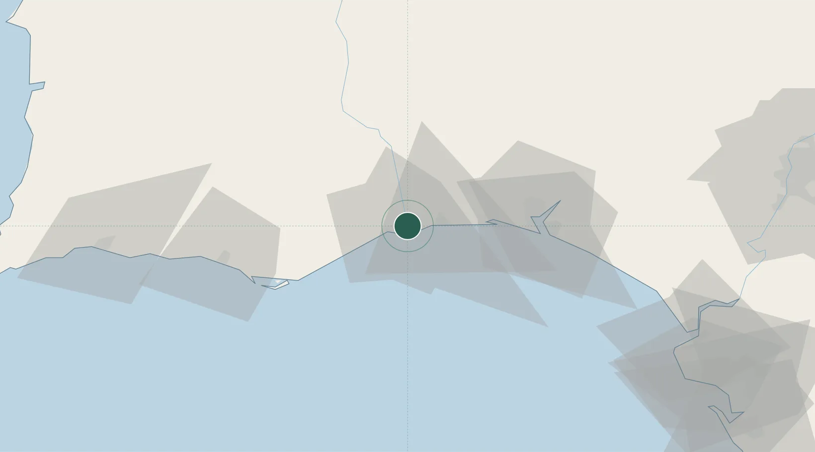
Vila Real de Santo António

37.2000°, -7.4167°
11,560
Population
3
Transport functions

Transport Functions

Port
Rail
Road
UN/LOCODE

Hub Profile

Place type
Provincial seat
GeoNames
Region
Faro
GeoNames
Population
11,560
GeoNames
Time zone
Europe/Lisbon
GeoNames
Elevation
9 m
GeoNames

Location

Location of PTVRE
Natural Earth 10m (public domain) · Faro · PTVRE · 37.20, -7.42GoogleOSMYandex

Nearby Logistics Neighbours

Cities
  1. 1Castro Marim2 km
  2. 2Isla Cristina7 km
  3. 3Tavira23 km
  4. 4Santa Luzia24 km
  5. 5La Barca Florida24 km
Nearest neighbours — logibook spatial index (haversine) over the source coordinates
Ports
  1. 1Vila Real De S Antonio2 km
  2. 2Huelva42 km
  3. 3Faro49 km
  4. 4Lagos107 km
  5. 5Rota116 km
Nearest neighbours — logibook spatial index (haversine) over the source coordinates
Airports
  1. 1Faro - Gago Coutinho International Airport53 km
  2. 2Portimão Airport104 km
  3. 3Madroñalejos Forest Fire fighting Heliport106 km
  4. 4Beja Airport / Airbase108 km
  5. 5Rota Naval Station Airport113 km
Nearest neighbours — logibook spatial index (haversine) over the source coordinates
Trade Zones
  1. 1Puerto de Huelva41 km
  2. 2Zona Franca de Sevilla126 km
  3. 3Zona Franca de Cádiz129 km
  4. 4Tanger Free Export Zone213 km
  5. 5Depósito Franco de Algeciras213 km
Nearest neighbours — logibook spatial index (haversine) over the source coordinates
DatabookThe Record of Consolidated Knowledge
Portugal beyond logistics?
Browse databook

All Sources

LocationsUN/LOCODE
UN/LOCODE — free
LocationsGeoNames
CC BY 4.0
Portsthe NGA World Port Index
Public domain (US gov)
AirportsOurAirports
Public domain
Trade Zonesthe World Bank SEZ database
CC BY 4.0
Trade ZonesOpen Zone Map
CC BY
← Portugal locations